Wet Acidic Sandy Flatwoods
Scenario model
Current ecosystem state
Select a state
Management practices/drivers
Select a transition or restoration pathway
- Transition T1A More details
- Restoration pathway R2A More details
-
No transition or restoration pathway between the selected states has been described
Target ecosystem state
Select a state
State 1
Reference State




Description
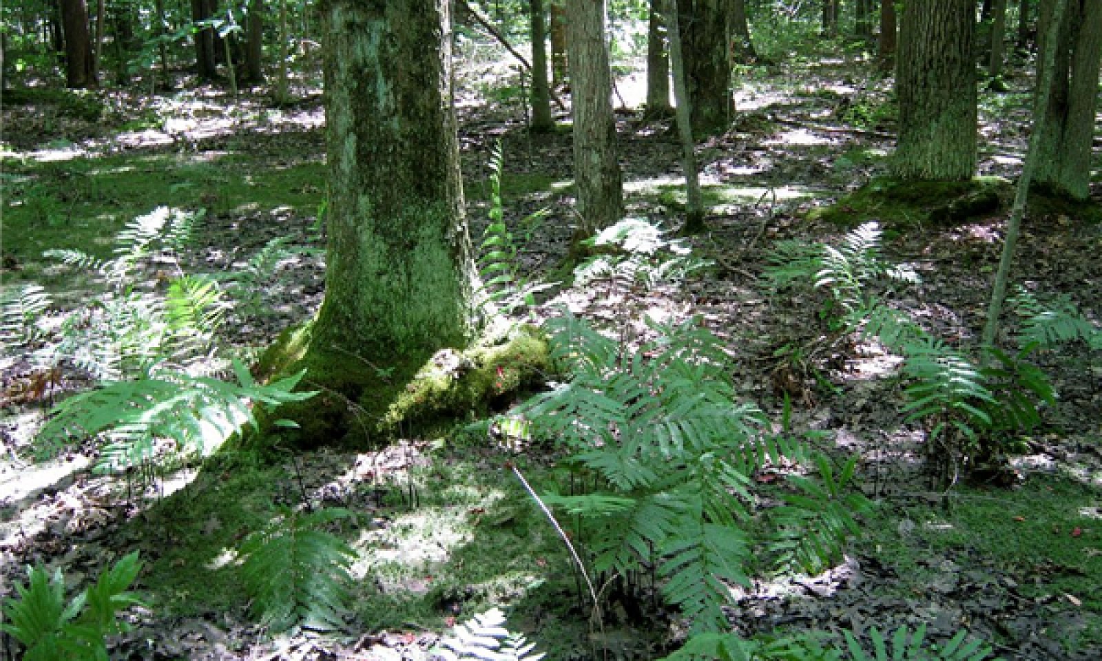
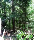
Prior to European-American settlement of the area, about 49 percent of the vegetation was dominated by very shade tolerant species such as hemlock (Tsuga canadensis) (phase 1.2) and about 28 percent was dominated by red maple (Acer rubrum) and other swamp hardwoods (phase 1.1) (Albert, et al., 1995). Hemlock does not occur naturally in northern Indiana (Kartesz, 2013; Swink & Wilhelm, 1994), so there phase 1.2 would have included only yellow birch (Betula alleghaniensis). Because forests are still recovering from past logging, most forests today are intermediate in succession as phase 1.1. Canopy dominants range from red maple to pin oak with varying amounts of black gum (Nyssa sylvatica) and swamp white oak (Quercus bicolor). Although usually not abundant in this region, black gum is a reliable indicator of acidic sites like these. Pin oak (Quercus palustris) is found throughout the range of this site concept, but is less prevalent to absent in stands north of Ottawa County. Acid tolerant ferns (e.g. cinnamon fern, Osmundastrum cinnamomeum; Virginia chain fern, Woodwardia virginica) are found in the understory. Most of the frequent understory shrubs (e.g. blueberries, swamp dewberry – Rubus hispidus) and forbs (e.g. partridge berry, Mitchella repens; Canada mayflower, Maianthemum canadense) are found almost exclusively on hummocks, whereas the low wet ponded portions are nearly bare of vegetation depending on shade levels. Peat moss (Sphagnum spp.) is common in zones that remain saturated for long periods, but which are only shallowly ponded. Otherwise, buttonbush (Cephalanthus occidentalis) and lizard’s tail (Saururus cernuus) are frequent constituents where ponding has precluded other species. Sites that are ponded for longer durations may lack canopy altogether and give way to wet-mesic prairie or coastal plain marsh.
Because wet acidic sands are relative outliers in a region otherwise dominated by calcareous tills, many species occur here that are disjuncts from their main ranges in unglaciated areas to the south (e.g. Rhynchospora macrostachya). Several species are disjuncts from the Gulf and Atlantic Coastal Plains where they are found in similarly acidic sandy sites (Reznicek, 1994; Sorrie & Weakley, 2001).
Submodel
Description
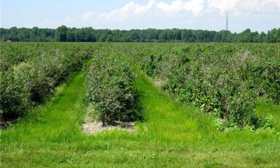
The Agriculture State accommodates the 49 percent of the sites that are actively managed, or are recovering from agriculture. This is a heterogeneous assemblage addressed here collectively. Included within the 49 percent is 31 percent of the area considered agriculture and 17 percent that is developed at low to high intensities (e.g. cities) (U.S. Department of the Interior, Geological Survey, 2011).
Submodel
Mechanism
Restoration of poorly drained conditions by blocking drainage ditches is critical to restoring reference state hydrology. Control non-native invasive species, and reestablish native plant species characteristic of the forested reference state. If applicable, cease nutrient enrichment (to allow excess calcium and nitrogen to be slowly flushed from the system or incorporated into biomass). If the site had been limed heavily, application of sulfur should be considered depending on restoration objectives.
Relevant conservation practices
| Practice | External resources |
|---|---|
|
Brush Management |
|
|
Tree/Shrub Site Preparation |
|
|
Tree/Shrub Establishment |
|
|
Restoration and Management of Rare and Declining Habitats |
|
|
Wetland Restoration |
|
|
Wetland Enhancement |
|
|
Herbaceous Weed Control |
Model keys
Briefcase
Add ecological sites and Major Land Resource Areas to your briefcase by clicking on the briefcase (![]() ) icon wherever it occurs. Drag and drop items to reorder. Cookies are used to store briefcase items between browsing sessions. Because of this, the number of items that can be added to your briefcase is limited, and briefcase items added on one device and browser cannot be accessed from another device or browser. Users who do not wish to place cookies on their devices should not use the briefcase tool. Briefcase cookies serve no other purpose than described here and are deleted whenever browsing history is cleared.
) icon wherever it occurs. Drag and drop items to reorder. Cookies are used to store briefcase items between browsing sessions. Because of this, the number of items that can be added to your briefcase is limited, and briefcase items added on one device and browser cannot be accessed from another device or browser. Users who do not wish to place cookies on their devices should not use the briefcase tool. Briefcase cookies serve no other purpose than described here and are deleted whenever browsing history is cleared.
Ecological sites
Major Land Resource Areas
The Ecosystem Dynamics Interpretive Tool is an information system framework developed by the USDA-ARS Jornada Experimental Range, USDA Natural Resources Conservation Service, and New Mexico State University.

