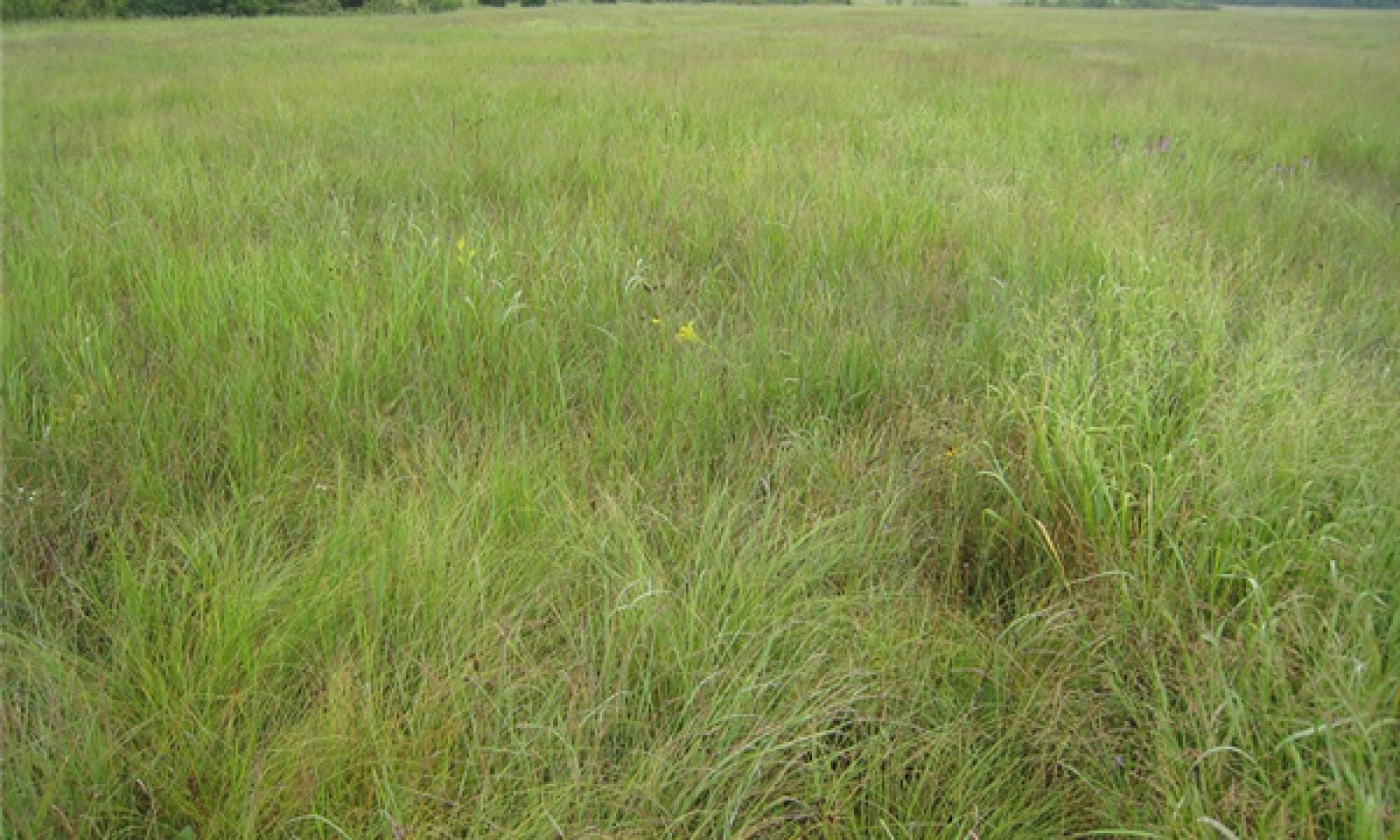
Wet Footslope Prairie
Scenario model
Current ecosystem state
Select a state
Management practices/drivers
Select a transition or restoration pathway
- Transition T1A More details
- Transition T1B More details
- Transition T1C More details
- Transition T1D More details
- Restoration pathway R2A More details
- Transition T2B More details
- Transition T2C More details
- Transition T3A More details
- Transition T3B More details
- Restoration pathway T4A More details
- Restoration pathway R5A More details
-
No transition or restoration pathway between the selected states has been described
Target ecosystem state
Select a state
Description
This state is a native prairie dominated by switchgrass, big bluestem and forbs along with numerous shrubs and occasional, widely scattered trees such as pin oak and bur oak. Two phases can occur that will transition back and forth depending on fire frequencies. Longer fire free intervals will allow woody species to increase such as pin oak and bur oak. When fire intervals shorten these woody species will decrease.
This undisturbed state is uncommon but some excellent examples still exist. Most sites, however, have been converted to cool season grasslands, cropland, or degraded by domestic grazing.
Submodel
Description
Reference states that have experienced fire suppression for 20 or more years and heavy domestic grazing will transition to this state. With fire suppression, woody species such as pin oak and bur oak will begin to increase transitioning this state from a prairie to a degraded woody invaded state. Native ground cover will also decrease and invasive species such as tall fescue, broomsedge and sericea lespedeza may begin to dominate. Transition to cool season grasslands (State 3) or cropland (State 4) is very common. Transition back to a reference state may be difficult if fire suppression and other disturbances have been long term. It may be easier to move to a re-established native warm season grassland and then over time move back to a reference state.
Submodel
Description
Conversion of other states to non-native cool season species such as tall fescue and white clover has been common in this area. Occasionally, these pastures will have a few scattered oaks. Long term uncontrolled grazing can cause significant soil erosion and compaction. A return to the reference state may require a very long series of management options.
Submodel
Description
This is a common state that currently exists in the region with soybeans, milo, wheat, and hay land production occurring. Some conversion to cool season grassland occurs for a limited period of time before transitioning back to cropland. Limited acres are sometimes converted to native warm season grassland.
Submodel
Description
Conversion from Cool Season Grassland (State 3) or the Cropland (State 4) to this State is increasing due to renewed interest in warm season grasses as a supplement to cool season grazing systems or as a native restoration activity. This state, once established, can be transformed back to a Reference State. Substantial restoration time and management inputs will still be needed.
Submodel
Mechanism
Fire suppression > 10 years; woody invasion; domestic grazing
Mechanism
Woody removal; prescribed fire 1-3 years; limited grazing
Model keys
Briefcase
Add ecological sites and Major Land Resource Areas to your briefcase by clicking on the briefcase (![]() ) icon wherever it occurs. Drag and drop items to reorder. Cookies are used to store briefcase items between browsing sessions. Because of this, the number of items that can be added to your briefcase is limited, and briefcase items added on one device and browser cannot be accessed from another device or browser. Users who do not wish to place cookies on their devices should not use the briefcase tool. Briefcase cookies serve no other purpose than described here and are deleted whenever browsing history is cleared.
) icon wherever it occurs. Drag and drop items to reorder. Cookies are used to store briefcase items between browsing sessions. Because of this, the number of items that can be added to your briefcase is limited, and briefcase items added on one device and browser cannot be accessed from another device or browser. Users who do not wish to place cookies on their devices should not use the briefcase tool. Briefcase cookies serve no other purpose than described here and are deleted whenever browsing history is cleared.
Ecological sites
Major Land Resource Areas
The Ecosystem Dynamics Interpretive Tool is an information system framework developed by the USDA-ARS Jornada Experimental Range, USDA Natural Resources Conservation Service, and New Mexico State University.
