Description
The Springfield Plain is in the western part of the Ozark Uplift. It is primarily a smooth plateau with some dissection along streams. Elevation is about 1,000 feet in the north to over 1,700 feet in the east along the Burlington escarpment adjacent to the Ozark Highlands. The underlying bedrock is mainly Mississippian-aged limestone, with areas of shale on lower slopes and structural benches, and intermittent Pennsylvanian-aged sandstone deposits on the plateau surface.
Key publications
Next steps
-
1
Select an ecological site
Select an ecological site using the list, keys, photos, briefcase, or quick search option located on this page. -
2
Explore the ecological site description
Next, learn more about the selected ecological site and its characteristic dynamics by browsing the ecological site description and exploring alternative state and transition model formats.
Ecological site list
-
i
Key Characteristics
- Upland Summits, Shoulders or Backslopes
- Bedrock >20"
- Alfisol or Ultisol (not in Mollic subgroups)
- <15% slope
- >12" loess
- Fragipan
- FRAGIPAN UPLAND WOODLAND MW Drained
-
i
Key Characteristics
- Floodplains
- LOAMY FLOODPLAIN FOREST Mod to High AWC (fine-loamy, fine-silty)
-
i
Key Characteristics
- Upland Summits, Shoulders or Backslopes
- Bedrock >20"
- Alfisol or Ultisol (not in Mollic subgroups)
- <15% slope
- <12" loess
- Cherty limestone residuum
- Alfisol
- CHERT UPLAND WOODLAND No root restriction
-
i
Key Characteristics
- Upland Summits, Shoulders or Backslopes
- Bedrock >20"
- Alfisol or Ultisol (not in Mollic subgroups)
- <15% slope
- <12" loess
- Cherty limestone residuum
- LOW-BASE CHERT UPLAND WOODLAND Ultisol
-
i
Key Characteristics
- Upland Summits, Shoulders or Backslopes
- Bedrock >20"
- Alfisol or Ultisol (not in Mollic subgroups)
- <15% slope
- >12" loess
- LOW-BASE LOAMY UPLAND WOODLAND No root restriction
-
i
Key Characteristics
- Upland Summits, Shoulders or Backslopes
- Bedrock >20"
- Alfisol or Ultisol (not in Mollic subgroups)
- <15% slope
- <12" loess
- Cherty limestone residuum
- Alfisol
- CHERT LIMESTONE UPLAND WOODLAND Bedrock 20-60"
-
i
Key Characteristics
- Upland Summits, Shoulders or Backslopes
- Bedrock >20"
- Alfisol or Ultisol (not in Mollic subgroups)
- <15% slope
- <12" loess
- DRY SANDSTONE UPLAND WOODLAND Sandstone residuum
-
i
Key Characteristics
- Upland Summits, Shoulders or Backslopes
- Bedrock >20"
- Alfisol or Ultisol (not in Mollic subgroups)
- <15% slope
- <12" loess
- Interbedded shale, sandstone, mudstone residuum
- INTERBEDDED SEDIMENTARY UPLAND WOODLAND Alfisol
-
i
Key Characteristics
- Upland Summits, Shoulders or Backslopes
- Bedrock >20"
- Alfisol or Ultisol (not in Mollic subgroups)
- >15% slope
- Cherty limestone residuum
- Alfisol
- No root restriction
- CHERT PROTECTED BACKSLOPE FOREST N, E aspects
-
i
Key Characteristics
- Upland Summits, Shoulders or Backslopes
- Bedrock >20"
- Alfisol or Ultisol (not in Mollic subgroups)
- >15% slope
- Cherty limestone residuum
- Ultisol
- LOW-BASE CHERT PROTECTED BACKSLOPE WOODLAND N, E aspects
-
i
Key Characteristics
- Upland Summits, Shoulders or Backslopes
- Bedrock >20"
- Alfisol or Ultisol (not in Mollic subgroups)
- >15% slope
- Cherty limestone residuum
- Alfisol
- Bedrock 20-60"
- CHERT LIMESTONE PROTECTED BACKSLOPE FOREST N, E aspects
-
i
Key Characteristics
- Upland Summits, Shoulders or Backslopes
- Bedrock >20"
- Alfisol or Ultisol (not in Mollic subgroups)
- >15% slope
- Interbedded shale, sandstone, mudstone residuum
- INTERBEDDED SEDIMENTARY PROTECTED BACKSLOPE FOREST N, E aspects
-
i
Key Characteristics
- Footslopes
- Alfisol
- LOAMY FOOTSLOPE WOODLAND Mod to High AWC (fine-loamy, fine-silty)
-
i
Key Characteristics
- Terraces and Floodplain Steps
- Alfisol
- WET TERRACE WOODLAND SWP, P Drained
-
i
Key Characteristics
- Terraces and Floodplain Steps
- Alfisol
- LOAMY TERRACE WOODLAND Well Drained
-
i
Key Characteristics
- Footslopes
- Alfisol
- DRY FOOTSLOPE WOODLAND Low AWC (skeletal, sandy, coarse-loamy)
-
i
Key Characteristics
- Upland Drainageways
- GRAVELLY/LOAMY UPLAND DRAINAGEWAY WOODLAND MW, W, SWE drained
-
i
Key Characteristics
- Sinkholes
- LOAMY SINKHOLE WOODLAND Well Drained
-
i
Key Characteristics
- Upland Summits, Shoulders or Backslopes
- Bedrock >20"
- Alfisol or Ultisol (not in Mollic subgroups)
- <15% slope
- <12" loess
- Interbedded shale, sandstone, mudstone residuum
- LOW-BASE INTERBEDDED SEDIMENTARY UPLAND WOODLAND Ultisol
-
i
Key Characteristics
- Floodplains
- SANDY/GRAVELLY FLOODPLAIN FOREST Low AWC (skeletal, sandy, coarse-loamy)
-
i
Key Characteristics
- Upland Summits, Shoulders or Backslopes
- Bedrock >20"
- Alfisol or Ultisol (not in Mollic subgroups)
- >15% slope
- Cherty limestone residuum
- Alfisol
- No root restriction
- CHERT EXPOSED BACKSLOPE WOODLAND S, W aspects
-
-
i
Key Characteristics
- Upland Summits, Shoulders or Backslopes
- Bedrock >20"
- Alfisol or Ultisol (not in Mollic subgroups)
- >15% slope
- Cherty limestone residuum
- Ultisol
- LOW-BASE CHERT EXPOSED BACKSLOPE WOODLAND S, W aspects
-
i
Key Characteristics
- Upland Summits, Shoulders or Backslopes
- Bedrock >20"
- Alfisol or Ultisol (not in Mollic subgroups)
- >15% slope
- Interbedded shale, sandstone, mudstone residuum
- INTERBEDDED SEDIMENTARY EXPOSED BACKSLOPE WOODLAND S, W aspects
-
i
Key Characteristics
- Upland Summits, Shoulders or Backslopes
- Bedrock >20"
- Alfisol or Ultisol (not in Mollic subgroups)
- <15% slope
- >12" loess
- Fragipan
- FRAGIPAN UPLAND FLATWOODS P, SWP Drained
-
i
Key Characteristics
- Upland Summits, Shoulders or Backslopes
- Bedrock >20"
- Mollisol or Mollic Subgroup
- >12" loess
- CLAYPAN SUMMIT PRAIRIE Fragipan or claypan
-
i
Key Characteristics
- Upland Summits, Shoulders or Backslopes
- Bedrock >20"
- Mollisol or Mollic Subgroup
- <12" loess
- CHERT UPLAND PRAIRIE Cherty limestone residuum
-
i
Key Characteristics
- Upland Summits, Shoulders or Backslopes
- Bedrock >20"
- Mollisol or Mollic Subgroup
- >12" loess
- LOAMY UPLAND PRAIRIE No root restriction
-
i
Key Characteristics
- Upland Summits, Shoulders or Backslopes
- Bedrock >20"
- Mollisol or Mollic Subgroup
- <12" loess
- SANDSTONE/SHALE UPLAND PRAIRIE Sandstone/shale residuum
-
i
Key Characteristics
- Upland Summits, Shoulders or Backslopes
- Bedrock <20"
- SHALLOW LIMESTONE UPLAND GLADE/WOODLAND Limestone residuum
-
i
Key Characteristics
- Upland Summits, Shoulders or Backslopes
- Bedrock <20"
- SHALLOW SANDSTONE UPLAND GLADE/WOODLAND Sandstone residuum
-
i
Key Characteristics
- Terraces and Floodplain Steps
- LOAMY TERRACE SAVANNA Mollisol or Mollic Subgroup
-
i
Key Characteristics
- Footslopes
- WET FOOTSLOPE PRAIRIE Mollisol or Mollic Subgroup
-
i
Key Characteristics
- Upland Drainageways
- WET UPLAND DRAINAGEWAY PRAIRIE SWP, P drained
-
i
Key Characteristics
- Sinkholes
- PONDED SINKHOLE WETLAND Somewhat Poorly Drained

Ecological site map
Basemap
Find me
Find point
Full screen
Zoom in to display soil survey map units for an area of interest, and zoom out to display MLRAs. Select a map unit polygon to view ecological sites correlated to that map unit. View a brief description of an ecological site by clicking on its name in the map popup. Soil survey correlations may not be accurate, and ecological site classification of a location should always be verified in the field. Each selection may require the transfer of several hundred KB of data.
Ecological site keys
-
okay. note
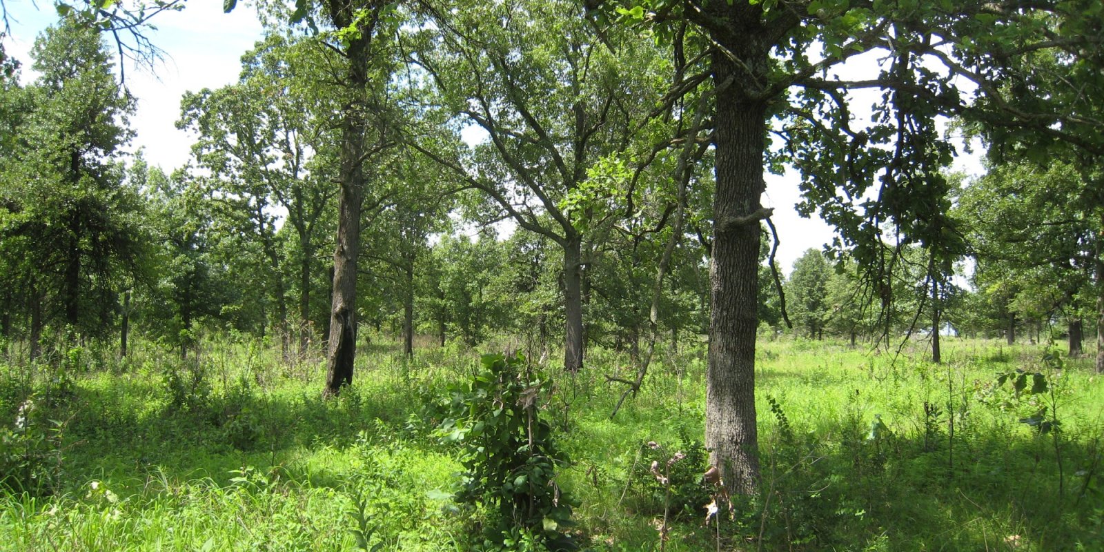
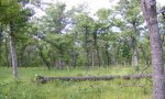
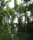
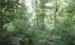
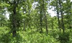
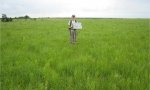
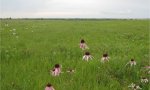
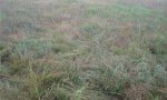
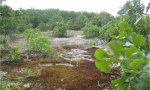
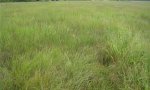
Ecological site photos
Print Options
Sections
Font
Other
Briefcase
Add ecological sites and Major Land Resource Areas to your briefcase by clicking on the briefcase (![]() ) icon wherever it occurs. Drag and drop items to reorder. Cookies are used to store briefcase items between browsing sessions. Because of this, the number of items that can be added to your briefcase is limited, and briefcase items added on one device and browser cannot be accessed from another device or browser. Users who do not wish to place cookies on their devices should not use the briefcase tool. Briefcase cookies serve no other purpose than described here and are deleted whenever browsing history is cleared.
) icon wherever it occurs. Drag and drop items to reorder. Cookies are used to store briefcase items between browsing sessions. Because of this, the number of items that can be added to your briefcase is limited, and briefcase items added on one device and browser cannot be accessed from another device or browser. Users who do not wish to place cookies on their devices should not use the briefcase tool. Briefcase cookies serve no other purpose than described here and are deleted whenever browsing history is cleared.
Ecological sites
Major Land Resource Areas
The Ecosystem Dynamics Interpretive Tool is an information system framework developed by the USDA-ARS Jornada Experimental Range, USDA Natural Resources Conservation Service, and New Mexico State University.