Major Land Resource Area 116C
St. Francois Knobs and Basins
Accessed: 04/07/2026
Description
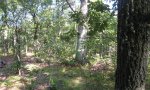
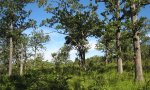
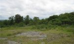
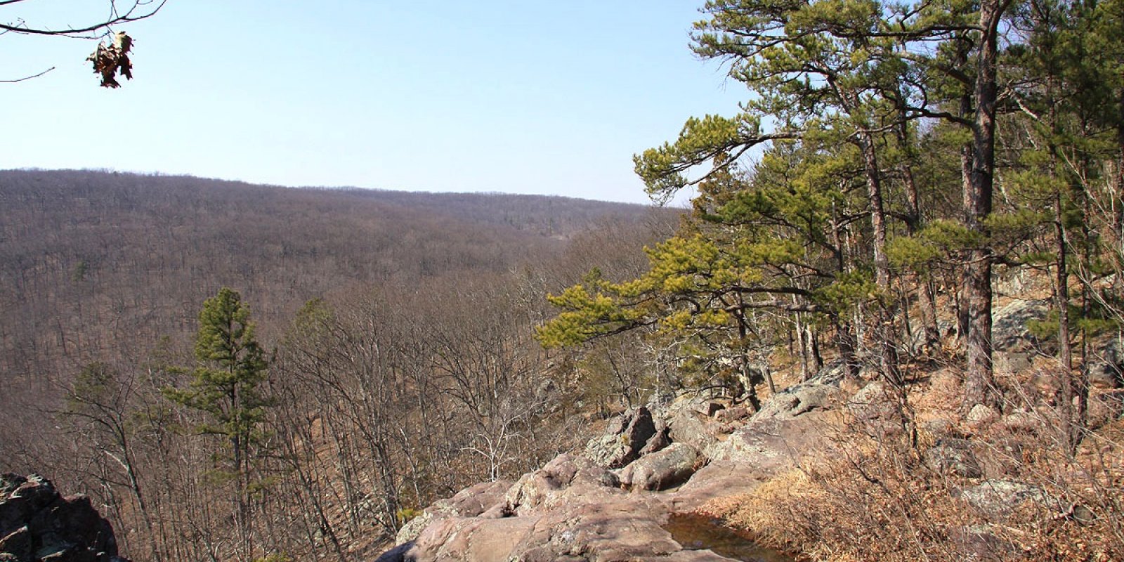
The St. Francois Knobs and Basins is the structural center of the Ozark Dome. Elevation ranges from about 450 feet along the rivers in the southern part of the area, to 1,772 feet on the summit of Taum Sauk Mountain, the highest point in Missouri. Prominent features of this MLRA are the Precambrian igneous knobs and hills that rise conspicuously to various elevations, interspersed with smooth-floored basins and valleys overlying dolomite and sandstone. Ecological Sites defined for this MLRA are commonly associated with igneous parent materials, either in knob or basin positions.
Key publications
Next steps
-
1
Select an ecological site
Select an ecological site using the list, keys, photos, briefcase, or quick search option located on this page. -
2
Explore the ecological site description
Next, learn more about the selected ecological site and its characteristic dynamics by browsing the ecological site description and exploring alternative state and transition model formats.