Shallow Igneous Knob Glade
Scenario model
Current ecosystem state
Select a state
Management practices/drivers
Select a transition or restoration pathway
- Transition 1A More details
- Restoration pathway 2A More details
-
No transition or restoration pathway between the selected states has been described
Target ecosystem state
Select a state
State 1
Reference State


Description
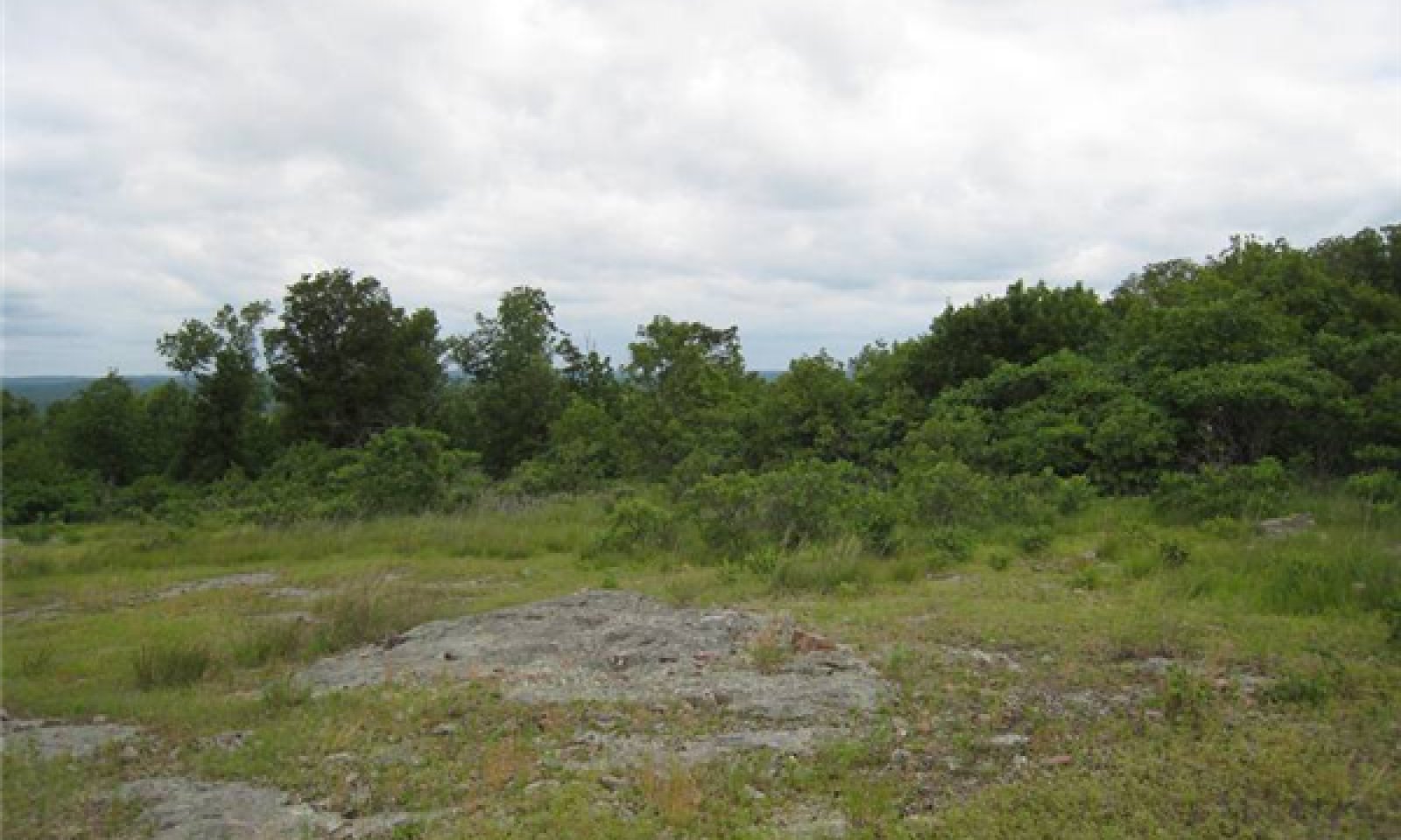
Shallow igneous knob glades persist on the rockiest and most exposed sites in the region. Oak and shortleaf pine (Pinus echinata) woodlands surround the glades. Historically, the patchwork of woodlands and glades in the St. Francois Knobs region were created and maintained by periodic natural fires and droughty soil conditions. The open ground layer is interspersed with a mosaic of stunted often gnarled oaks and shrubs. Lichens are abundant on the bare rock. Desert-adapted animals, like scorpions also occupy healthy knob glades. These glades support a population of Mead’s milkweed, a federally threatened tallgrass prairie plant. The igneous knob glades range from wide open grassy areas with shallow soils and sometime expansive bare igneous bedrock outcrops, to areas with widely scattered blackjack and post oaks on somewhat deeper soils. Soil fertility and site productivity is very low. While many have suffered from woody encroachment because of fire suppression, good examples can be found.
Submodel
Description
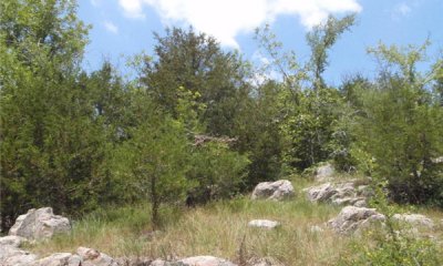
This state is dominated by eastern redcedar and blackjack oak. They can form relatively even-age stands, dating to when fire suppression began. This stage can occur relatively quickly (10 to 20 years). Canopy closures can approach 50 to 70 percent with little or no ground flora. Without active management, such as prescribed fire and woody removal, these sites will continue increasing in canopy coverage except on the shallowest soil and open bedrock areas where droughty conditions often keep woody invasion in check.
Submodel
Mechanism
This transition is the result of fire suppression that exceeds 15 to 20 years.
Mechanism
This restoration pathway results in eastern redcedar and other woody removal. Prescribed fire is reestablished on a periodic basis of 3 to 5 years.
Relevant conservation practices
| Practice | External resources |
|---|---|
|
Brush Management |
|
|
Prescribed Burning |
Model keys
Briefcase
Add ecological sites and Major Land Resource Areas to your briefcase by clicking on the briefcase (![]() ) icon wherever it occurs. Drag and drop items to reorder. Cookies are used to store briefcase items between browsing sessions. Because of this, the number of items that can be added to your briefcase is limited, and briefcase items added on one device and browser cannot be accessed from another device or browser. Users who do not wish to place cookies on their devices should not use the briefcase tool. Briefcase cookies serve no other purpose than described here and are deleted whenever browsing history is cleared.
) icon wherever it occurs. Drag and drop items to reorder. Cookies are used to store briefcase items between browsing sessions. Because of this, the number of items that can be added to your briefcase is limited, and briefcase items added on one device and browser cannot be accessed from another device or browser. Users who do not wish to place cookies on their devices should not use the briefcase tool. Briefcase cookies serve no other purpose than described here and are deleted whenever browsing history is cleared.
Ecological sites
Major Land Resource Areas
The Ecosystem Dynamics Interpretive Tool is an information system framework developed by the USDA-ARS Jornada Experimental Range, USDA Natural Resources Conservation Service, and New Mexico State University.


