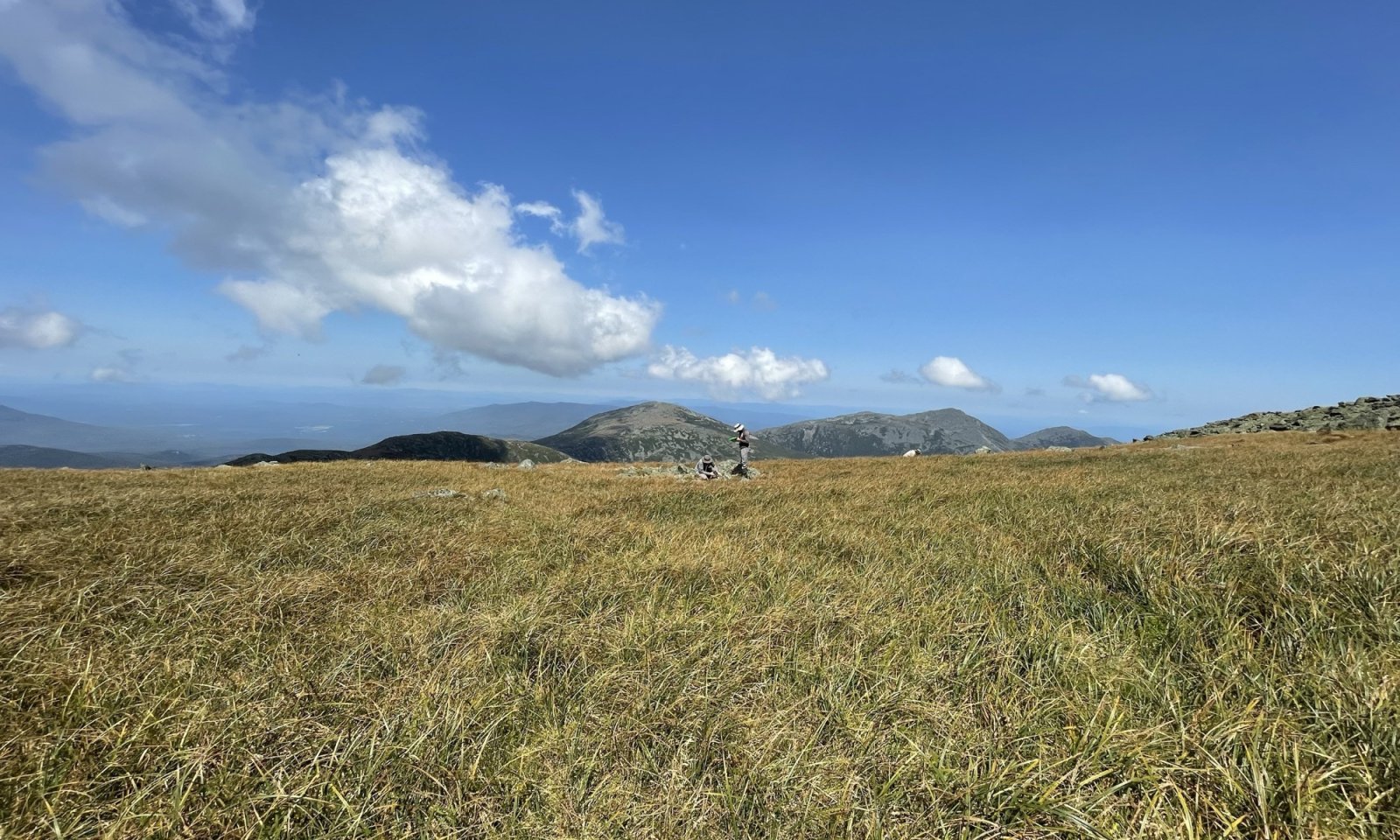
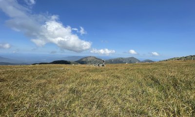
Alpine Ridge Meadow
Scenario model
Current ecosystem state
Select a state
Management practices/drivers
Select a transition or restoration pathway
-
Transition T1A
Soil Degradation / Erosion
More details -
Restoration pathway R2A
Habitat protection, Seedbank Establishment
More details -
No transition or restoration pathway between the selected states has been described
Target ecosystem state
Select a state
Description
This state consists of multiple community types found within the highest portion of the alpine zone (typically greater than 4000 feet [1220 meters]) composed of complex mosaics dominated by graminoids, dwarf-shrubs, forbs, and lichens. The different community variants outlined below will change based on slight differences in soil moisture, longevity of snowpack, elevation, and degree of exposure – as well as compounding influences due to accelerated trends in climate warming. These community types all correlate to the International Vegetation Classification (IVC) Hierarchy Group G909 “Northern Appalachian Alpine Tundra” and LandFire CES201.567 “Acadian-Appalachian Alpine Tundra” classifications.
Submodel
Description
This state consists of exposed areas within alpine communities in which the native vegetation is absent, displaced, or destroyed by soil degradation and erosion and will lack dominant vegetation cover.
Submodel
Mechanism
Soil degradation and erosion may lead to loss of habitat, resulting in exposed soil or bedrock. This often occurs in localized zones of trampled vegetation, soil erosion, and unofficial trail development. Extreme loss of soils materials may create localized channels which can funnel snowmelt and increase habitat loss.
Model keys
Briefcase
Add ecological sites and Major Land Resource Areas to your briefcase by clicking on the briefcase (![]() ) icon wherever it occurs. Drag and drop items to reorder. Cookies are used to store briefcase items between browsing sessions. Because of this, the number of items that can be added to your briefcase is limited, and briefcase items added on one device and browser cannot be accessed from another device or browser. Users who do not wish to place cookies on their devices should not use the briefcase tool. Briefcase cookies serve no other purpose than described here and are deleted whenever browsing history is cleared.
) icon wherever it occurs. Drag and drop items to reorder. Cookies are used to store briefcase items between browsing sessions. Because of this, the number of items that can be added to your briefcase is limited, and briefcase items added on one device and browser cannot be accessed from another device or browser. Users who do not wish to place cookies on their devices should not use the briefcase tool. Briefcase cookies serve no other purpose than described here and are deleted whenever browsing history is cleared.
Ecological sites
Major Land Resource Areas
The Ecosystem Dynamics Interpretive Tool is an information system framework developed by the USDA-ARS Jornada Experimental Range, USDA Natural Resources Conservation Service, and New Mexico State University.