Marine Terrace Flat
Scenario model
Current ecosystem state
Select a state
Management practices/drivers
Select a transition or restoration pathway
- Transition T1A More details
- Transition T1B More details
- Transition T1C More details
- Restoration pathway R2A More details
- Transition T2A More details
- Restoration pathway R2B More details
- Restoration pathway R3A More details
- Restoration pathway R3B More details
- Transition T3A More details
- Restoration pathway R3C More details
- Restoration pathway R4A More details
- Restoration pathway R4B More details
- Restoration pathway R5A More details
- Transition T5A More details
- Transition T5B More details
- Transition T5C More details
-
No transition or restoration pathway between the selected states has been described
Target ecosystem state
Select a state
Description
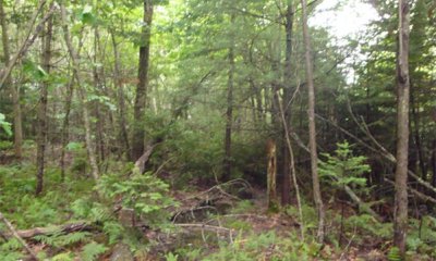
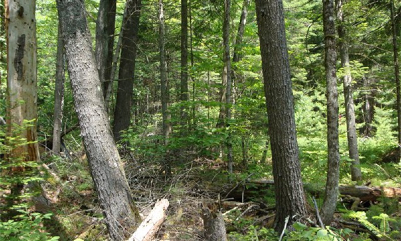
The reference state has a dense canopy cover typical of older growth forests, averaging 92 percent and ranging from 85 to 99 percent. It consists of a stratified mixture of even-aged conifer and northern hardwood tree species. Large eastern white pine (Pinus strobus) or quaking aspen (Populus tremuloides), or a mixture of both, form a super-canopy. Both of these trees took advantage of open fields and pastures that were abandoned around the 1930s to out compete spruce and hemlock, which grow slower. Thus, they are a relic of a previously cleared state. They grow over the main canopy of a mixed softwood and hardwood combination of other co-dominant or intermediate species.
The understory is sparse due to the dense overstory cover except for small open areas, less than a 0.1 of an acre, where a wide variety of forbs, ferns, and small shrubs grow with mosses, liverworts, and hornworts covering over 24 percent of the ground. Under the dense overstory, only small, scattered shade-tolerant and moisture-loving plants grow. The mosses, liverworts, and hornworts grow over the ground, on downed dead wood, and the lower parts of tree trunks throughout this site. Also, trees have several different types of lichen growing on them, including lungwort (Lobaria pulmonaria), which grows on older hardwood trees. Tree regeneration is very sparse and white pine and quaking aspen regeneration is absent. Due to the dense, shady understory, tall shrubs are almost non-existent. In the small open areas, small patches of taller shrubs and tree regeneration are present along with several types of subshrubs. Clumps and small patches of ferns and horsetail are also common. Few grasses or grass-like plants were found on this site. There were more sedges than grasses and both appeared in small clumps scattered throughout.
Submodel
Description
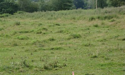
The cleared grassland state consists of either non-managed or managed community phases. Both community phases are a transition from the forested reference state usually caused by human disturbance, namely land clearing. The Non-managed Community Phase 2.1 is part of the natural succession, and then periodic human disturbance, such as bush hogging and mowing, provides the mechanism to maintain this community phase. The Managed Community Phase 2.2 is usually a periodic replanting by farmers. This state has a higher probability of being developed for house lots in the southern and central parts of this MLRA.
Submodel
Description
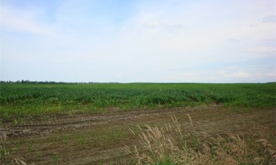
The cleared cropland state consists mainly of corn silage grown by dairy farmers and is located in very small areas, less than an acre in size, in crop fields that are in mostly upland soils. This state has a higher probability of being developed into house lots in the southern and central parts of this MLRA, which would be impossible to restore.
Submodel
Description
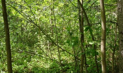
The invaded state consists of natural regeneration of a harvested state that had invasive species seed source and enough sunlight to allow invasive species to compete successfully against native species. The overstory canopy is more open and the understory structure and composition may be at first more diverse until invasive plants completely take over the understory and eliminate the native species.
Submodel
Description
The harvested state is the most common state in Maine. Most harvesting is typically by an individual tree or group selection method in this MLRA and on this site. The reference forest has been harvested for the most desirable species, Eastern white pine and spruce. The remaining forest stand consists of young red maple and gray birch with a few fir, hemlock, poplar, and ash. This state is most like the reference state in plant composition particularly in the understory if only small openings are created such as for an individual tree selection harvest. Group selection harvests may make larger openings temporarily that will allow other species to grow for very short periods of time.
In some instances, this state appears as a referenced state that has been "high-graded," or all large highly merchantable timber has been removed. This is very detrimental to the future forest and should be discouraged.
In a few instances, this state appears as a reference state that has been clearcut or all merchantable woody vegetation has been removed. Clearcuts occur usually when the site is going to be developed, immediately prior to being sold, or when the landowner is interested in developing early successional wildlife habitat, such as for New England cottontail, American woodcock, ruffed grouse, moose, and/or white-tailed deer.
Submodel
Mechanism
The reference state transitions to a cleared grassland state by the removal of all vegetation including their roots. The hydrology may or may not be altered by improving the drainage with drainage tile or ditches. The ground is then leveled and non-native species are planted to make hayland or pasture. In some instances, the ground is leveled and left to early successional native and non-native species. Both plant community phases must be maintained by brush management, forage management, and/or prescribed grazing. The cleared grassland state has a higher probability of being developed into house lots, particularly in the southern and central parts of this MLRA.
Mechanism
The reference state transitions to a cleared cropland state by the removal of all vegetation including their roots. The hydrology may or may not be altered by improving the drainage with drainage tile or ditches. The ground is then leveled and crops are planted. The cleared cropland state has a higher probability of being developed into house lots in the southern and central parts of this MLRA, which would be nearly impossible to restore.
Mechanism
The reference state transitions to a harvested state by the removal of some or all desirable woody vegetation. Hydrology may rarely be altered by the addition of woody debris or gravel in forest access trails and roads in narrow linear locations throughout the site. This transition has occurred on a periodic basis since European settlement and will continue.
Mechanism
This cleared grassland state may be restored to the reference state by natural regeneration over a long period of time or the planting of appropriate trees and shrubs, which also would be over a long period of time. Control of invasive plants may be needed.
Relevant conservation practices
| Practice | External resources |
|---|---|
|
Tree/Shrub Establishment |
Mechanism
This cleared grassland state may transition to a cleared cropland state by the plowing and planting of silage corn or other row crop.
Mechanism
This cleared grassland state may be restored to the harvested state by natural regeneration over a long period of time. Restoration efforts might include some planting of native trees and shrubs, but also may need control of invasive plants.
Relevant conservation practices
| Practice | External resources |
|---|---|
|
Tree/Shrub Establishment |
Mechanism
The cleared cropland state may be restored to the reference state by field abandonment and natural regeneration over a long period of time or by planting the appropriate vegetation, which also would be over a long period of time. Control of invasive plants may also be needed.
Relevant conservation practices
| Practice | External resources |
|---|---|
|
Tree/Shrub Establishment |
Mechanism
The cleared cropland state may be restored to the cleared grassland state by field abandonment and natural regeneration or by planting the appropriate vegetation, either native or non-native. Control of invasive plants may also be needed.
Relevant conservation practices
| Practice | External resources |
|---|---|
|
Forage and Biomass Planting |
Mechanism
The cleared cropland state may transition to an invaded state if row cropping is discontinued.
Mechanism
The cleared cropland State may be restored to the harvested state by field abandonment and natural regeneration over a period of time or by planting the appropriate vegetation, which also would be over a period of time. Control of invasive plants may also be needed.
Relevant conservation practices
| Practice | External resources |
|---|---|
|
Tree/Shrub Establishment |
Mechanism
The invaded state may be restored to the cleared cropland state by clearing of all vegetation, including roots. Then soil would be plowed and planted with a row crop.
Relevant conservation practices
| Practice | External resources |
|---|---|
|
Land Clearing |
Mechanism
The invaded state may be restored to the harvested state by clearing and/or controlling the invasive species to allow for natural regeneration to outcompete the invasive species, or to allow for the planting of desirable vegetation that would outcompete the invasive species. It might be necessary to control the invasive species in multiple years for this to be successful.
Relevant conservation practices
| Practice | External resources |
|---|---|
|
Brush Management |
|
|
Tree/Shrub Establishment |
Mechanism
The harvested state may be restored to the reference state by natural regeneration over a period of time or the planting of desirable vegetation which may shorten the period of time to full canopy status. Invasive species establishment and wildlife damage to plants must be controlled.
Relevant conservation practices
| Practice | External resources |
|---|---|
|
Brush Management |
|
|
Tree/Shrub Establishment |
Mechanism
The harvested state may transition to the cleared grassland state by the removal of all vegetation including their roots. The hydrology may or may not be altered by improving the drainage with drainage tile or ditches. The ground is then leveled and non-native species are planted to make hayland or pasture. In some instances, the ground is leveled and left to early successional native and non-native species. Both plant community phases must be maintained by brush management, forage management, and/or prescribed grazing. This is the same transition mechanism as for the reference state.
Mechanism
The harvested state transitions to a cleared cropland state by the removal of all vegetation including their roots. The hydrology may or may not be altered by improving the drainage with drainage tile or ditches. The ground is then leveled and crops are planted. This is the same transition mechanism as for the reference state.
Model keys
Briefcase
Add ecological sites and Major Land Resource Areas to your briefcase by clicking on the briefcase (![]() ) icon wherever it occurs. Drag and drop items to reorder. Cookies are used to store briefcase items between browsing sessions. Because of this, the number of items that can be added to your briefcase is limited, and briefcase items added on one device and browser cannot be accessed from another device or browser. Users who do not wish to place cookies on their devices should not use the briefcase tool. Briefcase cookies serve no other purpose than described here and are deleted whenever browsing history is cleared.
) icon wherever it occurs. Drag and drop items to reorder. Cookies are used to store briefcase items between browsing sessions. Because of this, the number of items that can be added to your briefcase is limited, and briefcase items added on one device and browser cannot be accessed from another device or browser. Users who do not wish to place cookies on their devices should not use the briefcase tool. Briefcase cookies serve no other purpose than described here and are deleted whenever browsing history is cleared.
Ecological sites
Major Land Resource Areas
The Ecosystem Dynamics Interpretive Tool is an information system framework developed by the USDA-ARS Jornada Experimental Range, USDA Natural Resources Conservation Service, and New Mexico State University.

