
Natural Resources
Conservation Service
Ecological site F152BY006TX
Well Drained Loamy Upland
Last updated: 9/22/2023
Accessed: 12/25/2024
General information
Provisional. A provisional ecological site description has undergone quality control and quality assurance review. It contains a working state and transition model and enough information to identify the ecological site.

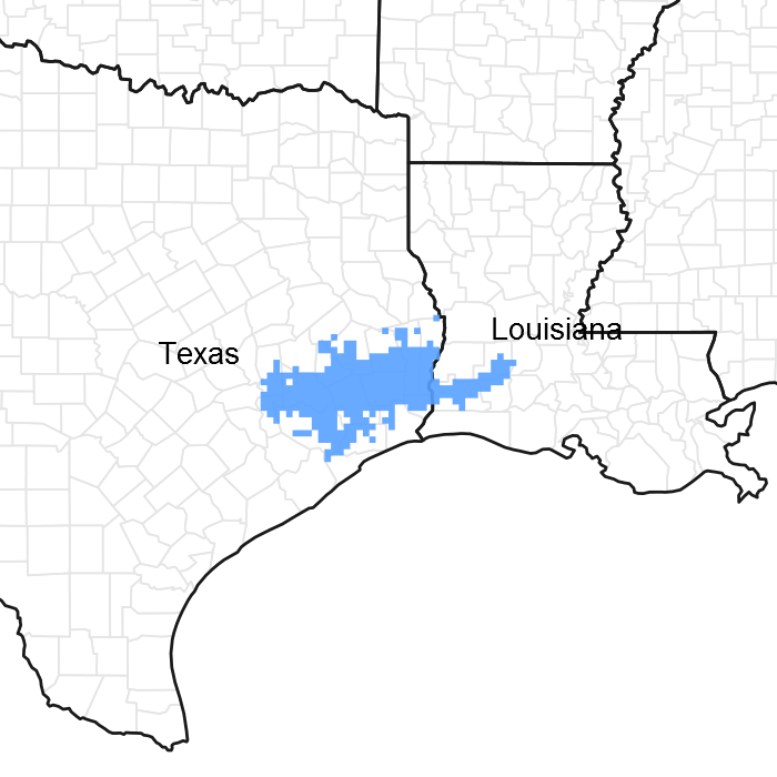
Figure 1. Mapped extent
Areas shown in blue indicate the maximum mapped extent of this ecological site. Other ecological sites likely occur within the highlighted areas. It is also possible for this ecological site to occur outside of highlighted areas if detailed soil survey has not been completed or recently updated.
MLRA notes
Major Land Resource Area (MLRA): 152B–Western Gulf Coast Flatwoods
Major Land Resource Area (MLRA) 152B, Western Gulf Coast Flatwoods, is in eastern Texas and western Louisiana. Locally termed the Flatwoods, the area is dominated by coniferous forest covering 5,681 square miles (14,714 square kilometers). The region is a hugely diverse transition zone between the northern and eastern mixed forests and southern and western coastal prairies and grasslands.
Classification relationships
Major Land Resource Area (MLRA) (USDA-Natural Resources Conservation Service, 2006)
Ecological site concept
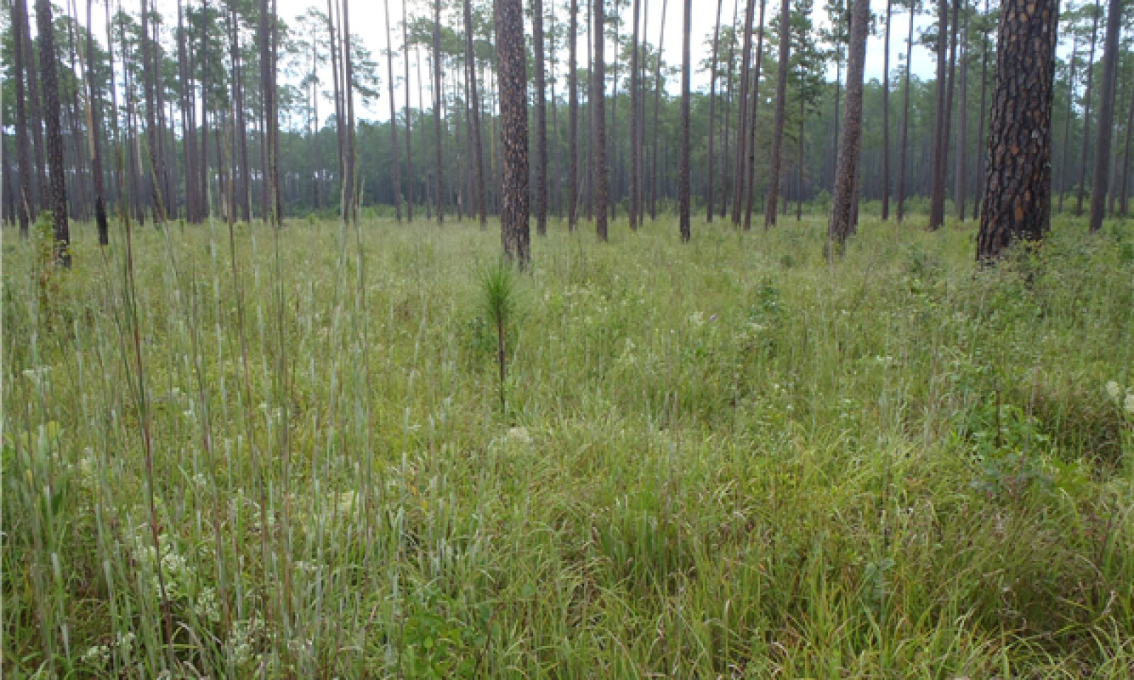
The Well Drained Loamy Upland ecological site has very deep loamy, well to moderately well drained soils. These sites have the highest potential for producing biomass across the area. They support high quality stands of timber and dense stands of herbaceous vegetation.
Associated sites
| F152BY001TX |
Depressional Soils are on a lower landform and are ponded during portions of the year. |
|---|---|
| F152BY002TX |
Sodic Flats Soils have high salt concentrations and bioturbation. |
| F152BY004TX |
Clayey Flat Soils are comprised of shrink-swell clays. |
| F152BY005TX |
Seasonally Wet Loamy Upland Soils have seasonally high water table. |
| F152BY007TX |
Poorly Drained Loamy Upland Soils are poorly drained. |
| F152BY010TX |
Terrace Soils on terraces. |
| F152BY014TX |
Poorly Drained Clayey Bottomland Soils are clayey and on floodplains. |
Similar sites
| F152BY009TX |
Sandy Terrace Soils have deep sands. |
|---|---|
| F152BY005TX |
Seasonally Wet Loamy Upland Soils have seasonally high water table. |
| F152BY010TX |
Terrace Soils are on terraces. |
Table 1. Dominant plant species
| Tree |
(1) Pinus palustris |
|---|---|
| Shrub |
(1) Ilex vomitoria |
| Herbaceous |
(1) Andropogon gerardii |
Click on box and path labels to scroll to the respective text.
Ecosystem states
| T1A | - | Absence of disturbance, coupled with natural regeneration over time |
|---|---|---|
| T1B | - | Merchantable timber is harvested by clearcut and site is planted to a monoculture of pine trees |
| T1C | - | Removal of native vegetation and introduction of improved forage species or annual crops |
| R2A | - | Reduction of overstory canopy using fire and selective thinning |
| T2A | - | Merchantable timber is harvested by clearcut and site is planted to a monoculture of pine trees |
| T2B | - | Merchantable timber harvested by clearcut, followed by planting of improved forage species or annual crops |
| R3A | - | Selective harvest combined with reintroduction of natural disturbances and native species |
| T3A | - | Lack of natural/anthropogenic disturbance and natural regeneration over time |
| T3B | - | Timber harvest by clearcut, followed by planting improved forage species or annual crops |
| T4A | - | Lack of natural/anthropogenic disturbance and natural regeneration over time |
| T4B | - | Site is planted to a monoculture of pine trees |

