Major Land Resource Area 154X
South-Central Florida Ridge
Accessed: 04/10/2026
Description
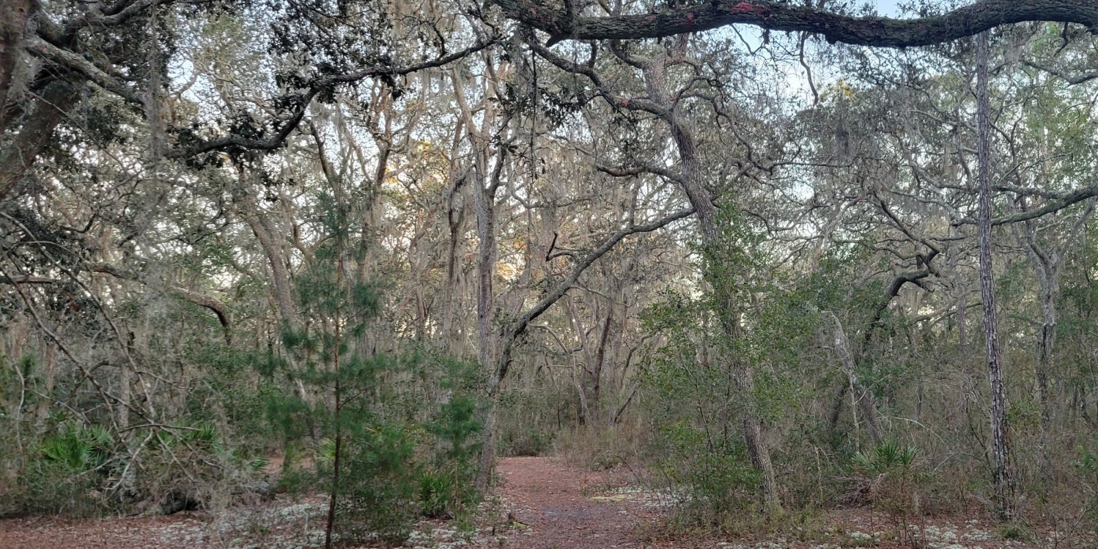
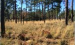
This MLRA makes up about 7,209 square miles (18,672 square kilometers) and is entirely in Florida. It meanders around the western and central ridge of central Florida from Gainesville to Lake Placid, and is irregularly shaped. It includes some of the oldest landscapes in peninsular Florida and is dominated by a series of marine sand ridges that mark the remnants of ancient shorelines (dating to the Pleistocene Epoch and earlier). Due to the underlying karst topography and drainage systems, the MLRA has few surficial rivers. Many endemic plant and animal species are associated with the ridges in this area. Livestock, citrus, specialty crops, and timber are important. MLRA 154 is extensively intertwined with MLRA 155 across the western mid-section of Florida. These two MLRAs differ slightly based on elevation and depth to limestone bedrock. As the depth to limestone bedrock increases, the risk of sinkhole formation and the accumulation of surface water into water bodies decrease. To the north, MLRA 154 borders MLRA 138, which has similar surficial geology but is underlain by limestone. To the northwest and northeast, it has a distinct boundary with MLRAs 152A and 153A marked by a scarp that borders a lower, wetter landscape.
Key publications
Next steps
-
1
Select an ecological site
Select an ecological site using the list, keys, photos, briefcase, or quick search option located on this page. -
2
Explore the ecological site description
Next, learn more about the selected ecological site and its characteristic dynamics by browsing the ecological site description and exploring alternative state and transition model formats.
Ecological site list
-
i
Key Characteristics
- Excessively Drained Soils
- Yellow Sand
- <80" of yellow sand
-
i
Key Characteristics
- Somewhat Poorly to Moderately Well Drained Soils
- Sandy, sandy over loamy, or sandy over clayey marine sediments at depths >80"
-
i
Key Characteristics
- Poorly Drained Soils
- Geomorphic Positions: Upland Flats, Ridges, Knolls
-
i
Key Characteristics
- Excessively Drained Soils
- White Sand
-
i
Key Characteristics
- Poorly Drained Soils
- Geomorphic Positions: Lowland Flats, Interfluves
- Family Particle Size: Loamy
-
i
Key Characteristics
- Somewhat Poorly to Moderately Well Drained Soils
- Sandy to 80" or sandy with subsurface loamy or clayey horizon below 40"
-
i
Key Characteristics
- Well Drained Soils
-
i
Key Characteristics
- Somewhat Poorly to Moderately Well Drained Soils
- Sandy over loamy or sandy marine sediments over limestone bedrock at depths <60"
-
i
Key Characteristics
- Poorly Drained Soils
- Geomorphic Positions: Lowland Flats, Interfluves
- Family Particle Size: Sandy
-
i
Key Characteristics
- Poorly Drained Soils
- Geomorphic Positions: Lowland Flats, Interfluves
- Family Particle Size: Clayey
-
i
Key Characteristics
- Very Poorly Drained Soils
- Freshwater Influence
- Organic Soils
- Geomorphic Position: Floodplains
-
i
Key Characteristics
- Very Poorly Drained Soils
- Freshwater Influence
- Organic Soils
- Geomorphic Position: Closed Depressions
-
i
Key Characteristics
- Very Poorly Drained Soils
- Freshwater Influence
- Mineral Soils
- Geomorphic Position: Closed Depression
-
i
Key Characteristics
- Very Poorly Drained Soils
- Freshwater Influence
- Mineral Soils
- Geomorphic Position: Floodplains
-
i
Key Characteristics
- Excessively Drained Soils
- Bi-color Sand
-
i
Key Characteristics
- Excessively Drained Soils
- Yellow Sand
- >80" of yellow sand
-
i
Key Characteristics
- Very Poorly Drained Soils
- Haline or Brackish Influence

Ecological site map
Basemap
Find me
Find point
Full screen
Zoom in to display soil survey map units for an area of interest, and zoom out to display MLRAs. Select a map unit polygon to view ecological sites correlated to that map unit. View a brief description of an ecological site by clicking on its name in the map popup. Soil survey correlations may not be accurate, and ecological site classification of a location should always be verified in the field. Each selection may require the transfer of several hundred KB of data.
Ecological site keys
Ecological site photos
Print Options
Sections
Font
Other
Briefcase
Add ecological sites and Major Land Resource Areas to your briefcase by clicking on the briefcase (![]() ) icon wherever it occurs. Drag and drop items to reorder. Cookies are used to store briefcase items between browsing sessions. Because of this, the number of items that can be added to your briefcase is limited, and briefcase items added on one device and browser cannot be accessed from another device or browser. Users who do not wish to place cookies on their devices should not use the briefcase tool. Briefcase cookies serve no other purpose than described here and are deleted whenever browsing history is cleared.
) icon wherever it occurs. Drag and drop items to reorder. Cookies are used to store briefcase items between browsing sessions. Because of this, the number of items that can be added to your briefcase is limited, and briefcase items added on one device and browser cannot be accessed from another device or browser. Users who do not wish to place cookies on their devices should not use the briefcase tool. Briefcase cookies serve no other purpose than described here and are deleted whenever browsing history is cleared.
Ecological sites
Major Land Resource Areas
The Ecosystem Dynamics Interpretive Tool is an information system framework developed by the USDA-ARS Jornada Experimental Range, USDA Natural Resources Conservation Service, and New Mexico State University.