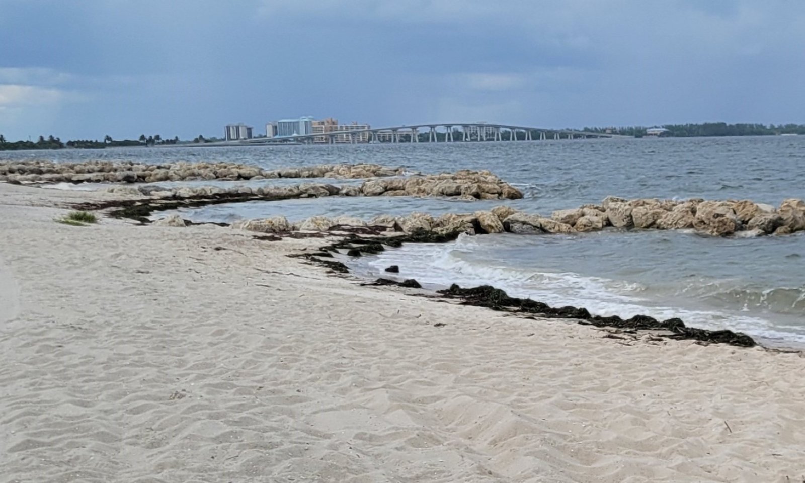
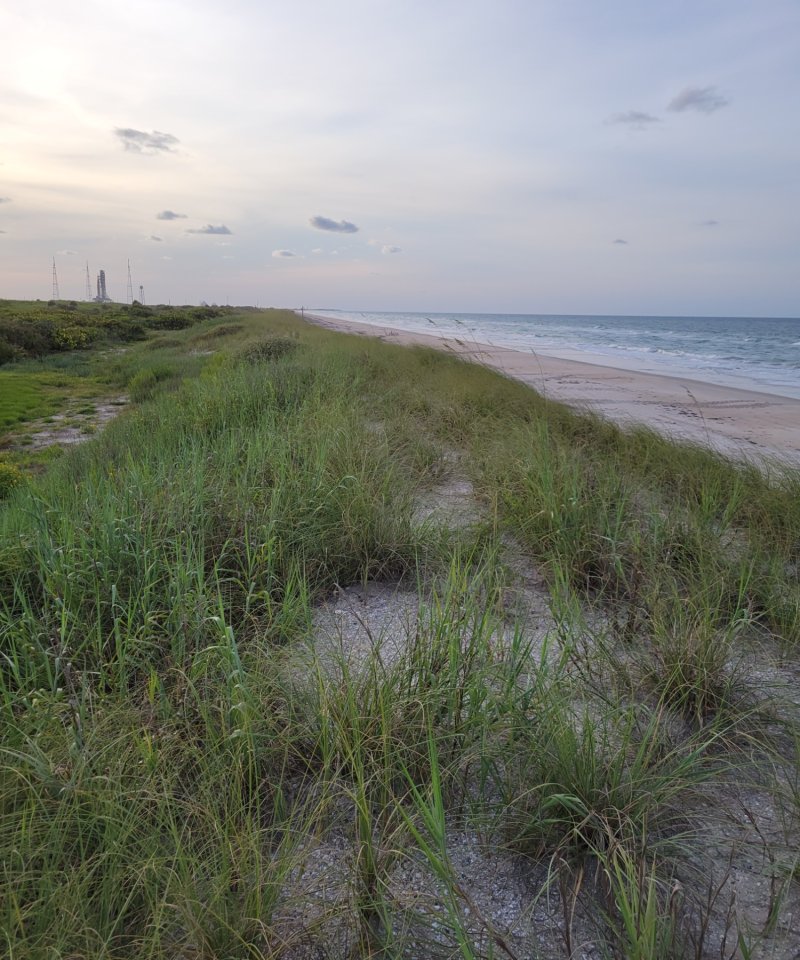
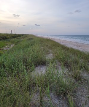
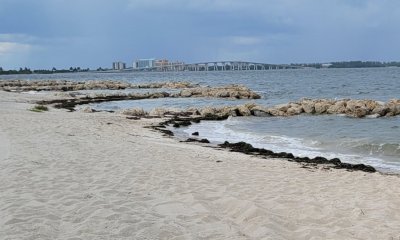
Sandy Coastal Beach Dunes
Scenario model
Current ecosystem state
Select a state
Management practices/drivers
Select a transition or restoration pathway
-
Transition T1A
Introduction and Establishment of Invasive / Non-Native / Undesirable Species
More details -
Transition T1B
Human Alteration & Human Transportation of Soils Materials
More details -
Restoration pathway R2A
Invaded / Non-Native / Undesirable Species Removal & Restoration
More details -
Transition T2A
Human Alteration & Human Transportation of Soils Materials
More details -
No transition or restoration pathway between the selected states has been described
Target ecosystem state
Select a state
Description
This state consists of having a dynamic dune system communities immediately adjacent to high-energy coastlines.
Characteristics and indicators
The reference plant community (1.1) will occur as stabilized vegetated dunes consisting of drought and salt tolerant herbaceous species that are able to outgrow the rate of sediment deposition, rising above the adjacent landscape. They will form parallel to the ocean and are variable in size and extent.
Submodel
Description
This state represents the dominance of one or multiple non-native or exotic species which outcompetes the native natural community and may significantly alter the composition and structure of the invaded stand by overshading the canopy and understory components and preventing regeneration of native species.
Submodel
Description
These areas include soils that were intentionally and substantially modified by humans for an intended purpose, commonly for erosion control, building support, transportation, and commerce. The alteration is of sufficient magnitude to result in the introduction of a new parent material (human-transported material) or a profound change in the previously existing parent material (human-altered material).They do not include soils modified through standard agricultural practices or farmed soils with unintended wind and water erosion. When a soil is on or above an anthropogenic landform or microfeature, it can be definitely be associated with human activity and is assigned to a unique taxa, usually found as an "Urban land complex" within that communities' natural soil properties (e.g., Palm Beach fine sand-Urban land complex, 0 to 2 percent slopes).
Characteristics and indicators
Evidence of these areas include soils with manufactured items (e.g. artifacts) present in the profile, human altered-materials (e.g., deeply excavated or deeply plowed soil) or human-transported material (e.g., fill), and position on or above anthropogenic landforms (e.g., flood-control levees) and microfeatures (e.g., drainage ditches). Detailed criteria regarding the identification of anthropogenic (artificial) landforms, human-altered materials, and human-transported material are in the "Keys to Soil Taxonomy" (Soil Survey Staff, 2014).
Submodel
Mechanism
This transition represents proliferation and dominance of an invasive species. Soil mechanical disturbances can compound this effect and create suitable conditions for invasive species.
Transition T1B
Mechanism
This transition is driven by the alteration and transportation of soils materials via anthropogenic means to create areas which are no longer representative of the natural communities for human use and development.
Mechanism
The establishment of, or a return to, natural habitat conditions following a previous invasive / non-native / undesirable species infestation may be possible in some areas. Successful actions will require relentless efforts that include removal of the species via chemical, mechanical, or biological means. In some extreme cases, restoration attempts could result in greater erosion and worsening of local conditions. Please consult with District and Soil Conservationists at local NRCS Field Offices for advice and guidance on land restoration attempts on invaded areas.
Model keys
Briefcase
Add ecological sites and Major Land Resource Areas to your briefcase by clicking on the briefcase (![]() ) icon wherever it occurs. Drag and drop items to reorder. Cookies are used to store briefcase items between browsing sessions. Because of this, the number of items that can be added to your briefcase is limited, and briefcase items added on one device and browser cannot be accessed from another device or browser. Users who do not wish to place cookies on their devices should not use the briefcase tool. Briefcase cookies serve no other purpose than described here and are deleted whenever browsing history is cleared.
) icon wherever it occurs. Drag and drop items to reorder. Cookies are used to store briefcase items between browsing sessions. Because of this, the number of items that can be added to your briefcase is limited, and briefcase items added on one device and browser cannot be accessed from another device or browser. Users who do not wish to place cookies on their devices should not use the briefcase tool. Briefcase cookies serve no other purpose than described here and are deleted whenever browsing history is cleared.
Ecological sites
Major Land Resource Areas
The Ecosystem Dynamics Interpretive Tool is an information system framework developed by the USDA-ARS Jornada Experimental Range, USDA Natural Resources Conservation Service, and New Mexico State University.