
Natural Resources
Conservation Service
Ecological site F220XY432AK
Maritime Forest Gravelly Plain
Last updated: 6/05/2025
Accessed: 04/03/2026
General information
Provisional. A provisional ecological site description has undergone quality control and quality assurance review. It contains a working state and transition model and enough information to identify the ecological site.
MLRA notes
Major Land Resource Area (MLRA): 220X–Alexander Archipelago-Gulf of Alaska Coast
The Alexander Archipelago-Gulf of Alaska Coast area consists of a narrow arc of islands and lower elevation coastal mountains in the Southern Alaska Region. This area spans from the Alexander Archipelago in southeastern Alaska, north and west along the coast of the Gulf of Alaska and Prince William Sound, and further west to the southern tip of the Kenai Peninsula and the northeastern islands of the Kodiak Archipelago. The area makes up about 27,435 square miles (USDA 2006). The terrain primarily consists of low to moderate relief mountains that are deeply incised. Throughout the area glaciers, rivers, and streams have cut deep, narrow to broad valleys. The broader valleys have nearly level to strongly sloping flood plains and stream terraces. Alluvial and colluvial fans and short footslopes are common in the valleys along the base of the mountains. Rocky headlands, sea cliffs, estuaries, and beaches are common along the coast.
This area includes the Municipality of Juneau, Alaska's capital, and a number of smaller coastal towns and villages. Federally administered lands within this MLRA include Admiralty Island National Monument and part of Misty Fjords National Monument, Tongass National Forest, Chugach National Forest, and Glacier Bay, Wrangell-St. Elias, and Kenai Fjords National Parks and Preserves. The southern terminus of the Trans-Alaska Pipeline is in Valdez.
During the late Pleistocene epoch, the entire area was covered with glacial ice. The numerous fjords of the Alexander Archipelago and Prince William Sound were formed chiefly as a result of glacial scouring and deepening of preglacial river valleys. Most glacial deposits have been eroded away or buried by mountain colluvium and alluvium, which cover about 90 percent of the present landscape. The remaining glacial and glaciofluvial deposits are generally restricted to coastal areas. During the Holocene epoch, volcanic activity within and adjacent to this area deposited a layer of volcanic ash of varying thickness on much of the landscape in the southeastern and northwestern parts of the area. Paleozoic, Mesozoic, and Lower Tertiary stratified sedimentary rocks and Cretaceous and Tertiary intrusive rocks underlie much of the area and are exposed on steep mountain
slopes and ridges (USDA 2006).
The dominant soil orders in this MLRA are Spodosols, Histosols, and Entisols. Soils in the area typically have a cryic soil temperature regime, an udic moisture regime, and have mixed minerology. Spodosols are common on mountains and hills having been formed in gravelly or cobbly colluvium, glacial till, and varying amounts of silty volcanic ash. These Spodosols commonly range from shallow to deep, are well to somewhat poorly drained, and typically classify as Humicryods or Haplocryods. Histosols that are poorly to very poorly drained occur on footslopes, discharge slopes, and valley floors. These wet histosols commonly classify as Cryosaprists, Cryohemists, and Cryofibrists. Histosols that are well drained occur on steep mountainsides. These dry Histosols commonly classify as Cryofolists. Entisols are common on flood plains, stream terraces, and outwash plains having been formed in silty, sandy, and gravelly to cobbly alluvium. These Entisols are generally deep, range from well to somewhat poorly drained, and commonly classify as Cryaquents and Cryofluvents. Miscellaneous (non-soil) areas make up about 23 percent of the MLRA. The most common miscellaneous areas are avalanche chutes, rock outcrop, rubble land, beaches, river wash, and water.
This area represents the northern extent of the Pacific temperate rainforest and is characterized by productive stands of conifers. Western hemlock and Sitka spruce are the dominant trees on mountains and hills at the lower elevations. Due to warmer temperatures, western red cedar and Alaska cedar are more prevalent in the southern part of the area. Black cottonwood and mixed forest types occur on flood plains. Areas of peat and other sites that are too wet for forest growth support sedge-grass meadows and low scrub. The transition to subalpine and alpine communities typically occurs at elevations between 1500 to 3000 feet (Boggs et al. 2010, Carstensen 2007, Martin et al. 1995), which characterize the vegetation of the Southern Alaska Coastal Mountains area.
For many decades, logging, commercial fishing, and mining have been the primary industrial land uses throughout much of the area. In recent years, changes in public interests, land use policies, and timber economics have contributed to a significant decline in the timber industry. Commercial fishing continues to be an important industry and most communities support a fleet of boats and fishing related facilities. A number of mines operate in the area and others have been prospected and proposed. Tourism and wildland recreation are becoming increasingly important. Subsistence hunting, fishing, and gathering provide food and a variety of other resources to local residents and remain the principal economy for residents of remote villages.
Ecological site concept
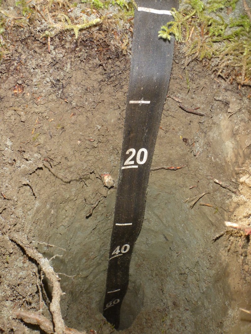
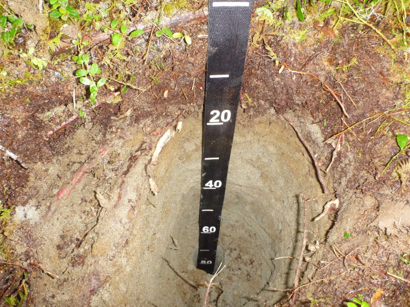
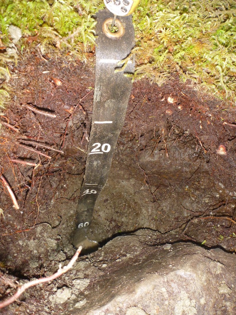
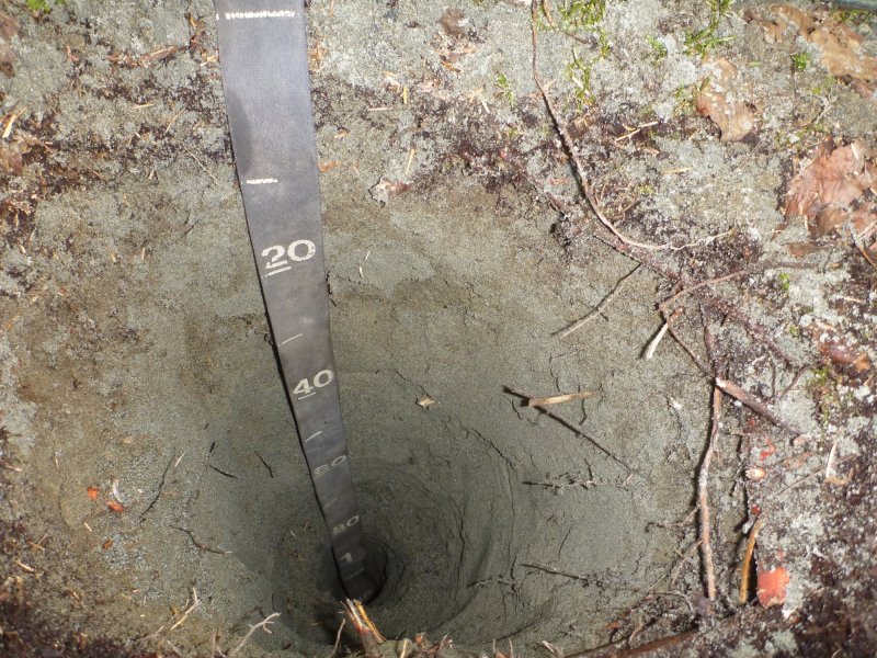
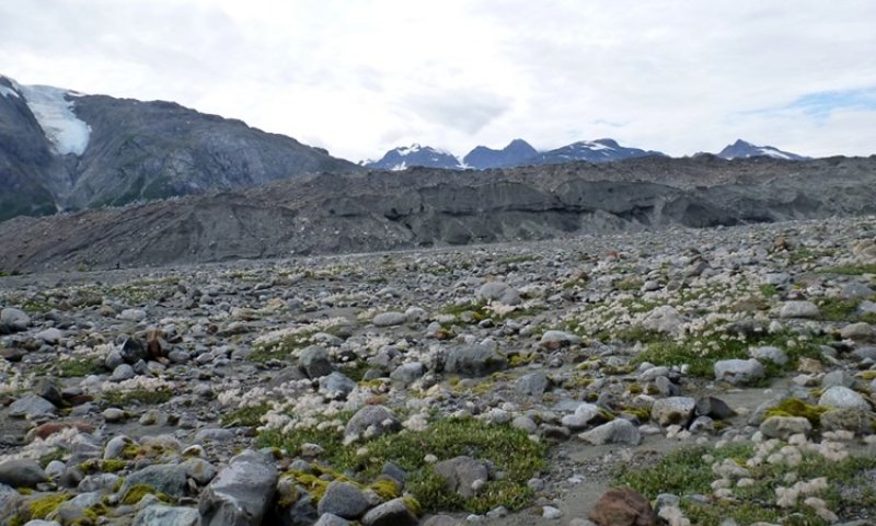
This site occurs on outwash plains, outwash deltas, and glacial valley floors. Flooding is very rare and ponding is not known to occur on these well drained soils. The soil texture is sandy to loamy-skeletal and a water table is typically greater than 20 inches year-round. This site occurs at elevations from sea level to 330 feet, and slopes are typically 0-20%.
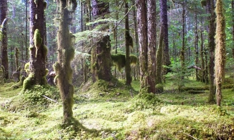
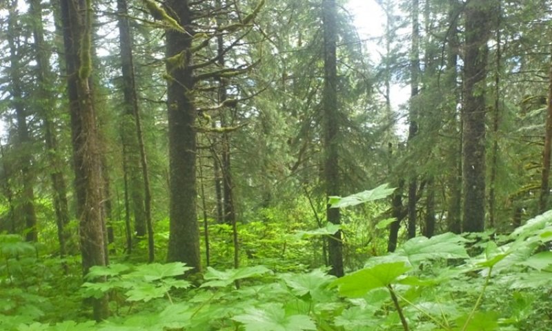
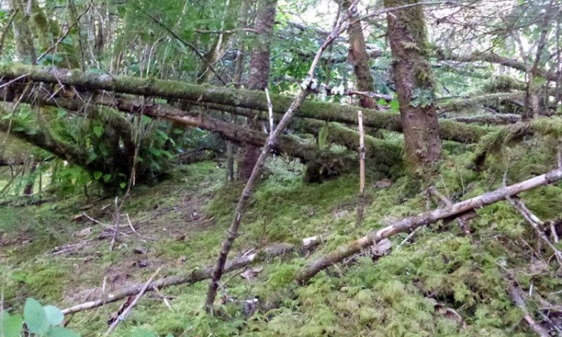
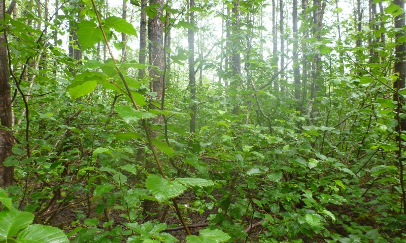
Five plant communities occur on this site and are a function of primary succession coupled with disturbance dynamics driven by windthrow events. The reference plant community phase is characterized as open needleleaf spruce forest. It is composed primarily of mature Sitka spruce and western hemlock with an extensive feathermoss understory. Common understory species include Sitka alder, oval-leaf blueberry, strawberryleaf raspberry, sidebells wintergreen, heartleaf twayblade, western rattlesnake plantain, stairstep moss, Schreber’s big red stem moss, and goose neck moss.
Associated sites
| F220XY435AK |
Maritime Forest Loamy Wet Plains This ecological site occurs in close proximity to F220XY432AK on glacial till plains, however F220XY435AK occurs on poorly-drained soils with a high water table, resulting in unfavorable growing conditions. |
|---|---|
| R220XY436AK |
Maritime Graminoid Loamy Wet Plain This ecological site occurs in close proximity to F220XY432AK on glacial valley floors. The water table on site R220XY436AK occurs within 4 inches of the surface throughout the growing season resulting in ponded conditions and is dominated by sedges. |
Similar sites
| F220XY427AK |
Maritime Forest Gravelly High Floodplain Ecological site F220XY427AK also supports a Sitka spruce forest, but is subject to a flood regime associated with active flood plains. |
|---|---|
| F220XY433AK |
Maritime Forest Loamy Slopes Ecological sites F220XY433AK occurs on mountain slopes. |
| F220XY435AK |
Maritime Forest Loamy Wet Plains Ecological site F220XY435AK supports a similar plant community, but occurs on wetter soils and exhibits lower levels of biomass production. |
| F220XY460AK |
Maritime Forest Gravelly Alluvial Plains Ecological site F220XY460AK also supports a closed Sitka spruce forest that is controlled by windthrow events, but occurs on alluvial plains and terraces. |
| F220XY466AK |
Maritime Forest Sandy Plains Eolian Ecological site F220XY466AK supports a closed Sitka spruce forest but soils are of eolian origin. |
| F220XY468AK |
Maritime Forest Loamy Slopes Warm Ecological site F220XY468AK supports a similar plant community but occurs on steep slopes with paralithic contact around 20-40 inches. |
Table 1. Dominant plant species
| Tree |
(1) Picea sitchensis |
|---|---|
| Shrub |
(1) Vaccinium |
| Herbaceous |
(1) Listera cordata |


Click on box and path labels to scroll to the respective text.
Ecosystem states
State 1 submodel, plant communities
| 1.1a | - | Windthrow |
|---|---|---|
| 1.2a | - | Primary succession following glacial retreat or secondary succession following a windthrow event. |
| 1.3b | - | Primary succession following glacial retreat or secondary succession following a windthrow event. |
| 1.3a | - | Windthrow |
| 1.4a | - | Primary succession following glacial retreat or secondary succession following a windthrow event |
| 1.5a | - | Primary succession following glacial retreat |