Boreal Woodland Peat Frozen Flats
Scenario model
Current ecosystem state
Select a state
Management practices/drivers
Select a transition or restoration pathway
-
Transition T1A
Disturbance leads to the thermal erosion of ground ice and the subsidence of soil resulting in formation of thermokarst depressions.
More details -
Transition T1B
Thick lens of ice form in the soil and lift the bog above the surrounding area forming a peat plateau.
More details -
Restoration pathway R3A
Collapse of peat plateau.
More details -
No transition or restoration pathway between the selected states has been described
Target ecosystem state
Select a state
Description
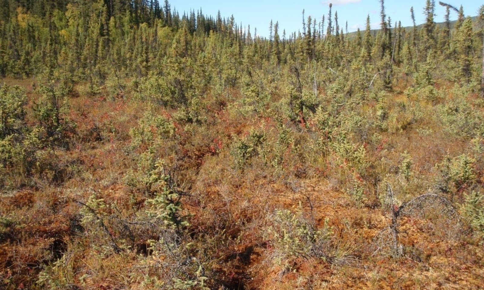
The reference plant community is dwarf tree scrub woodland (Viereck et al. 1992) with the dominant tree being black spruce. There are three plant communities within the reference state related to fire.
Submodel
Description
Thermokarst occurs due to the thermal erosion of ice-rich permafrost in soil after disturbances such as fire events or land clearing. While thermokarst can be readily observed, details related to thermokarst succession are poorly understood. After an unknown timeframe, thermokarst depressions could theoretically revert back to plant communities associated with the reference state (Myers-Smith et al. 2008). However, the timeframe for recovery is likely outside the scope of typical land management priorities. At this time, restoration back to reference conditions is not considered within the state-and-transition model.
The thermokarst plant community is open low scrub (Viereck et al. 1992). Associated soils pond and have a persistent high water table. The thermokarst state has one documented plant community.
Future data collection efforts and research would likely enhance information about existing plant communities within this state and allow for better understanding of the potential transitions from one community or state to another.
Submodel
Description
Palsa and peat plateau develop from the soils associated with the reference state (personnel observations of NRCS staff). A palsa is a much smaller landform feature compared to a peat plateau. A palsa is an elliptical dome-like permafrost mound containing alternating layers of ice lenses and peat or mineral soil, commonly 10-30 feet in height and 6 to 80 feet long (Schoeneberger and Wysocki 2017). A peat plateau is a generally flat-topped expanse of peat, elevated above the general surface of a peatland, and containing segregated ice that may or may not extend downward into the underlying mineral soil (Schoeneberger and Wysocki 2017).
Palsa and peat plateau can raise significantly above the water table and their peaty soils can become well drained. If these landforms raise high enough above the water table, soil temperature increases and eventually ice-lens melt. Palsa (Pielou 1994) and peat plateau (personnel observations of NRCS staff) are both prone to collapse. After collapse, the soils are thought to revert back to reference state conditions.
The alternate state community is dwarf tree scrub woodland (Viereck et al. 1992) with black spruce as the dominant tree. The plant community associated with this state has limited data (USDA NRCS 2016) and is provisional.
Submodel
Mechanism
Land clearing or fire can thaw permafrost and the thermal erosion of ground ice results in the settling of soil, which is thermokarst. Subsidence can be significant with collapsed pits going down and spanning across several feet.
Mechanism
A peat plateau is a generally flat-topped expanse of peat, elevated above the general surface of a peatland, and containing segregated ice that may or may not extend downward into the underlying mineral soil (Schoeneberger and Wysocki 2017). These landforms can raise significantly above the water table and their peaty soils can become well drained.
Model keys
Briefcase
Add ecological sites and Major Land Resource Areas to your briefcase by clicking on the briefcase (![]() ) icon wherever it occurs. Drag and drop items to reorder. Cookies are used to store briefcase items between browsing sessions. Because of this, the number of items that can be added to your briefcase is limited, and briefcase items added on one device and browser cannot be accessed from another device or browser. Users who do not wish to place cookies on their devices should not use the briefcase tool. Briefcase cookies serve no other purpose than described here and are deleted whenever browsing history is cleared.
) icon wherever it occurs. Drag and drop items to reorder. Cookies are used to store briefcase items between browsing sessions. Because of this, the number of items that can be added to your briefcase is limited, and briefcase items added on one device and browser cannot be accessed from another device or browser. Users who do not wish to place cookies on their devices should not use the briefcase tool. Briefcase cookies serve no other purpose than described here and are deleted whenever browsing history is cleared.
Ecological sites
Major Land Resource Areas
The Ecosystem Dynamics Interpretive Tool is an information system framework developed by the USDA-ARS Jornada Experimental Range, USDA Natural Resources Conservation Service, and New Mexico State University.


