Western Alaska Maritime Scrubland Gravelly Flood Plains
Scenario model
Current ecosystem state
Select a state
Management practices/drivers
Select a transition or restoration pathway
-
Transition T1A
Beaver dam building
More details -
Restoration pathway R2A
Removal of dam (hypothetical)
More details -
No transition or restoration pathway between the selected states has been described
Target ecosystem state
Select a state
State 1
Reference State


Description
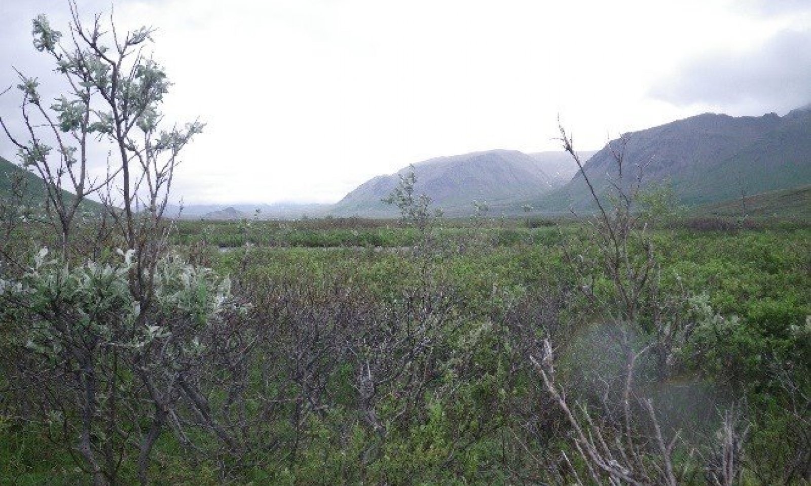
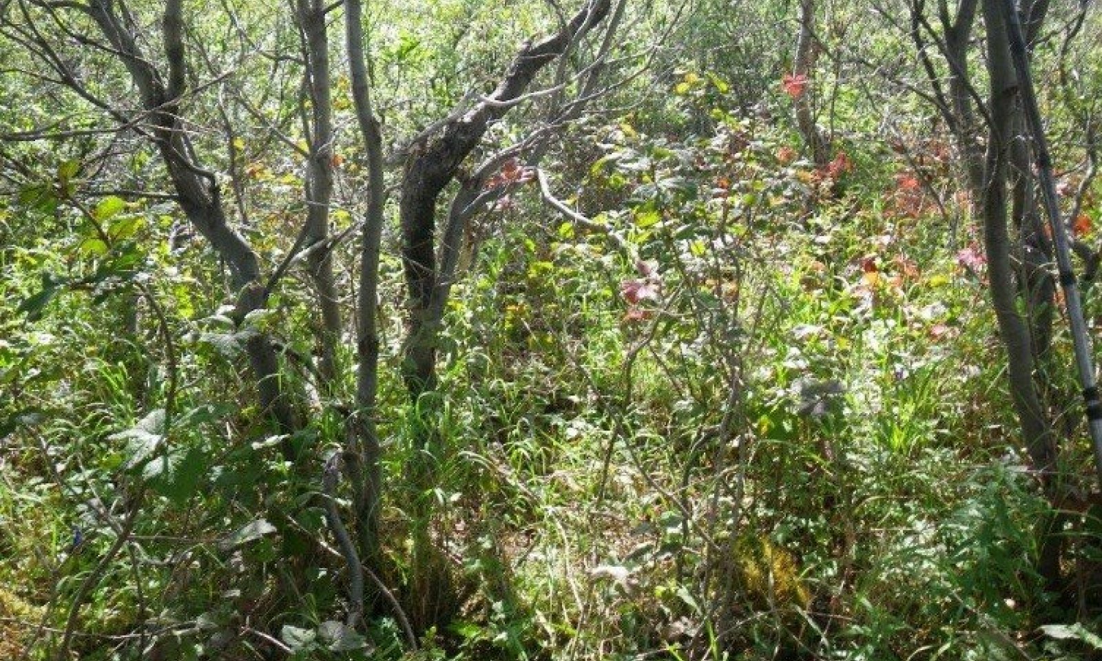
The reference state supports two community phases that are distinguished by the developed structure and dominance of the vegetation and the ecological function and stability of the community (fig. 4). The reference community phase consists of willows, graminoids, and forbs. The presence of the communities is spatially dictated by the flooding regime.
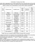
This report provides baseline vegetation inventory data. Future data collection is needed to provide further information about existing plant communities and the disturbance regime that results in transitions from one community to another. Common and scientific names are from the USDA PLANTS database. Community phases are characterized by the Alaska Vegetation Classification System (Viereck et al., 1992).
Submodel
State 2
Beaver-Affected State


Description
This alternative state is the result of beaver activity. Beavers (Castor canadensis) directly kill shrubs for food and dam material and also indirectly kill these and other species by raising the water table (USDA-Forest Service, 2013). Soil shifts caused by beavers (pond sediments versus alluvium) can cause spatial and temporal changes in willow establishment, further leading to changes in community structure (Wolf et al., 2007). The alternate state typically surrounds the beaver ponds or is upstream from them. Beaver dams change the disturbance regime from flooding to ponding. Ponding creates a vegetative community that is different from those of the reference state. This vegetative shift is highlighted by a taller, more diverse shrub community that has a more species-rich understory of facultative to wetland forbs than does the reference plant community (1.1).
Moderate browsing of willow by moose and/or caribou has been observed in this community.
Submodel
Mechanism
This transition is caused by beavers damming a water source. Areas surrounding beaver ponds support plant assemblages distinct from those of the reference state. This vegetative community is comprised of species that are water tolerant and can grow and reproduce in wet soils. The time required for this transition to occur is dependent on the presence and activity of beavers.
Mechanism
Currently, it is unknown whether an area will return to the reference state if a beaver dam is removed. Factors such as the duration of the dam and shifts in hydrology shifts may determine whether this process can occur naturally or would require human intervention. More observation is needed to determine the vegetative effects of dam removal.
Model keys
Briefcase
Add ecological sites and Major Land Resource Areas to your briefcase by clicking on the briefcase (![]() ) icon wherever it occurs. Drag and drop items to reorder. Cookies are used to store briefcase items between browsing sessions. Because of this, the number of items that can be added to your briefcase is limited, and briefcase items added on one device and browser cannot be accessed from another device or browser. Users who do not wish to place cookies on their devices should not use the briefcase tool. Briefcase cookies serve no other purpose than described here and are deleted whenever browsing history is cleared.
) icon wherever it occurs. Drag and drop items to reorder. Cookies are used to store briefcase items between browsing sessions. Because of this, the number of items that can be added to your briefcase is limited, and briefcase items added on one device and browser cannot be accessed from another device or browser. Users who do not wish to place cookies on their devices should not use the briefcase tool. Briefcase cookies serve no other purpose than described here and are deleted whenever browsing history is cleared.
Ecological sites
Major Land Resource Areas
The Ecosystem Dynamics Interpretive Tool is an information system framework developed by the USDA-ARS Jornada Experimental Range, USDA Natural Resources Conservation Service, and New Mexico State University.

