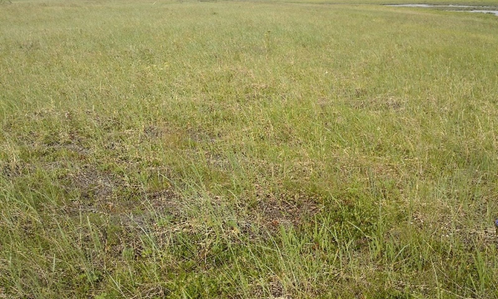
The reference state describes two distinct vegetative communities grouped by the structure and dominance of the vegetation (e.g., shrubs, forbs, and graminoids) and their ecological function and stability on the flood plain complex. The reference plant community is an open low scrubland comprised of ericaceous species with graminoids and forbs throughout. The presence of these and related communities are dictated temporally and spatially by hydric factors such as flooding frequency, post-flood ponding, water table depth and elevation.
This reference state is developed and characterized using available vegetation models, including Landfire BpS and the Alaska vegetation classification system (Landfire, 2009; Viereck et al., 1992) and field information collected in soil surveys AK630 and AK728.
Add ecological sites and Major Land Resource Areas to your briefcase by clicking on the briefcase () icon wherever it occurs. Drag and drop items to reorder. Cookies are used to store briefcase items between browsing sessions. Because of this, the number of items that can be added to your briefcase is limited, and briefcase items added on one device and browser cannot be accessed from another device or browser. Users who do not wish to place cookies on their devices should not use the briefcase tool. Briefcase cookies serve no other purpose than described here and are deleted whenever browsing history is cleared.
The Ecosystem Dynamics Interpretive Tool is an information system framework developed by the USDA-ARS Jornada Experimental Range, USDA Natural Resources Conservation Service, and New Mexico State University.