Malpais
Scenario model
Current ecosystem state
Select a state
Management practices/drivers
Select a transition or restoration pathway
-
Transition T1
Shrub invasion, drought, overgrazing
More details -
Transition T2
Overgrazing, erosion
More details -
Restoration pathway R1
Shrub removal
More details -
Transition T3
Erosion, drought, shrub removal
More details -
Restoration pathway R2
Soil addition, reseeding
More details -
No transition or restoration pathway between the selected states has been described
Target ecosystem state
Select a state
Description
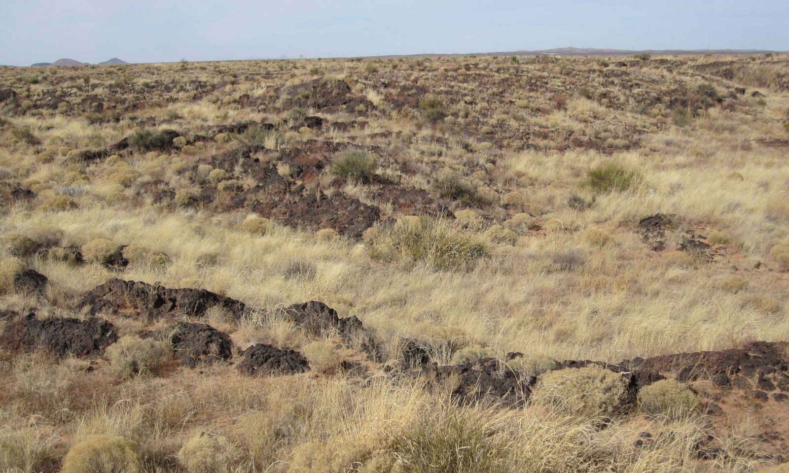
Grasses are dominant, but composition and cover varies depending on soil texture, run-in conditions, and disturbance history. Soils between 5” and 20” deep are present. Various shrub species may be present.
Characteristics and indicators
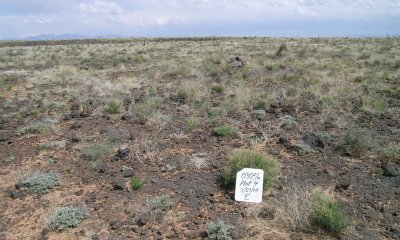
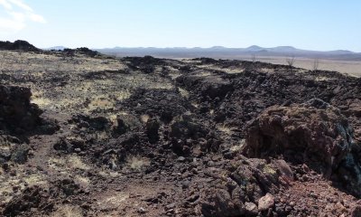
Grasses dominate areas within malpais sites that have a sufficient depth of soil over the basalt. In some cases, (run-in buffered conditions or “pockets”) soil is restricted to depressions of varying sizes, interspersed with areas of unvegetated basalt outcrops. Shrubs, including Apache plume (Fallugia paradoxa), littleleaf sumac (Rhus microphylla), saltbush (Atriplex canescens), creosotebush (Larrea tridentata), and tarbush (Flourensia cernua), as well as cacti may occur in pockets and in fissures in the basalt. In other cases, vegetation is distributed more evenly throughout the site and basalt is visible as cobbles, boulders, or small outcrops. The grasses and shrubs in these sites tend to reflect, to varying degrees, the soils that are blown into the basalt from adjacent areas or the weathering of basalt. Sites with finer soils (often weathered from basalt) may harbor tobosa (Pleuraphis mutica), vine mesquite (Panicum obtusum), cane bluestem (Bothriochloa barbinodis), sideoats grama (Bouteloua curtipendula), or alkali sacaton (Sporobolus airoides) and sites with coarser soils may feature black grama (Bouteloua eriopoda), bush muhly (Muhlenbergia porteri), threeawns (Aristida spp.) or dropseeds (Sporobolus spp.).
Depending on the relative palatabilities and other characteristics of the species present, heavy grazing or drought may result in increases in fluffgrass (Dasyochloa pulchella), threeawns (Aristida spp.), snakeweed (Gutierrezia spp.), bare ground and germination of shrub seedlings. In the case of pockets, run-in of water from adjacent outcrops and the tendency of pockets to protect soils, seeds, and plant roots from erosion results in high resilience of the plant community. In the case of flatter areas without such run-in and that are more exposed to wind and water erosion, persistent loss of grasses and soil fertility may occur.
Resilience management
Stocking rates and grazing periods that (1) allow seed-propagated grass plants to flower and produce seeds, and (2) leave black grama stems (stolons) long enough for new plants (ramets) to take root and adequate cover to protect soils through the spring windy season is critical.
Mechanism
Shrubs invade and dominate due, in part, to reduced perennial grass cover caused by drought and grazing that allows shrub establishment. Shrubs may also dominate in areas characterized by bedrock fissures, due to their deeper roots exploiting more stable water sources.
Mechanism
Loss of perennial grass cover (due to overgrazing and drought) coupled with increased erosion exposes infertile soil or bedrock.
Mechanism
Shrub removal on shrub-dominated sites that: 1) occur at the higher end of the LRU elevation range; 2) have one or more persistent perennial grass species (bush muhly, three-awns, dropseeds, black grama) onsite; and 3) have few to no signs of recent soil erosion; have a greater probability of responding favorably and more quickly than do sites at lower elevation with no persistent perennial grass species (or only bush muhly growing in the shrub canopies), and with multiple signs of soil erosion (pedestalled persistent plants, soil lines on rock fragments, rills, soil mounds).
Context dependence
Wide fluctuations in timing and amount of precipitation among years, soil fertility, availability and type of propagation as well as proximity to propagules, will determine likelihood and rate of perennial grass establishment.
Mechanism
Multiple years of drought are accompanied by plant decadence and loss, coupled with wind erosion or followed by heavy rains and water erosion. Resultant soil loss leads to infertile soil or exposure of bedrock. Alternatively, shrub removal treatments in shrub-dominated systems with degraded soils result in annual/forb dominated or barren state.
Constraints to recovery
Soil loss or soil infertility. Lack of propagules.
Mechanism
Soil addition, typically over the period of many years from offsite eolian sources, coupled with reseeding, could theoretically restore the plant community.
Context dependence
Wide fluctuations in timing and amount of precipitation among years and soil fertility will determine likelihood and rate of plant establishment.
Model keys
Briefcase
Add ecological site groups and Major Land Resource Areas to your briefcase by clicking on the briefcase (![]() ) icon wherever it occurs. Drag and drop items to reorder. Cookies are used to store briefcase items between browsing sessions. Because of this, the number of items that can be added to your briefcase is limited, and briefcase items added on one device and browser cannot be accessed from another device or browser. Users who do not wish to place cookies on their devices should not use the briefcase tool. Briefcase cookies serve no other purpose than described here and are deleted whenever browsing history is cleared.
) icon wherever it occurs. Drag and drop items to reorder. Cookies are used to store briefcase items between browsing sessions. Because of this, the number of items that can be added to your briefcase is limited, and briefcase items added on one device and browser cannot be accessed from another device or browser. Users who do not wish to place cookies on their devices should not use the briefcase tool. Briefcase cookies serve no other purpose than described here and are deleted whenever browsing history is cleared.
Ecological site groups
Major Land Resource Areas
The Ecosystem Dynamics Interpretive Tool is an information system framework developed by the USDA-ARS Jornada Experimental Range, USDA Natural Resources Conservation Service, and New Mexico State University.


