Saline
Scenario model
Current ecosystem state
Select a state
Management practices/drivers
Select a transition or restoration pathway
-
No transition or restoration pathway between the selected states has been described
Target ecosystem state
Select a state
Description
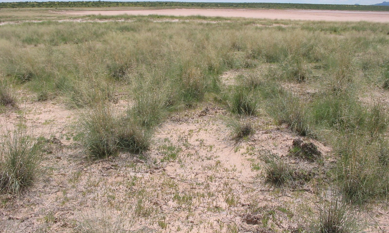
Salinity levels, ponding duration and frequency determine the diversity, type and cover of vegetation on these sites. Alkali sacaton grasslands are common at lower salinity levels, and typically include iodinebush or saltbush. In some cases, tobosa and vine mesquite may be present. Where present, honey mesquite cover is limited. Bare areas are a natural occurrence on this site, often related to increased salinity or past water ponding events. More saline soils in this state are characterized by sparse cover of iodinebush.
Characteristics and indicators
Transition dynamics are not well understood. Soil salinity dictates plant composition. Drought and/or overgrazing may lead to mortality of perennial grasses. Reduced water infiltration and accumulation of sodium or salts at the soil surface may inhibit grass recruitment, possibly leading to the expansion of bare areas. Changes in hydrology may also contribute to grass loss.
Resilience management
The interplay of human versus natural causes of vegetation loss are not well understood. Grazed areas should be managed to avoid soil compaction and degradation to prevent soil sealing, erosion and changes in surface hydrology. Decadence or mortality of perennial grasses, expansion of bare areas and increases in surface salts are key indicators that a management change may be needed to prevent a transition to the bare state.
Description
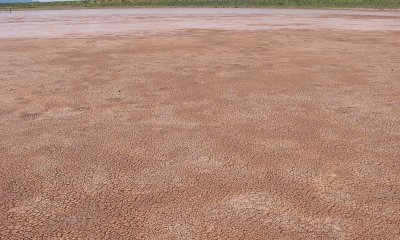
Erosion, high salt content, water ponding and seasonal fluctuations in a high water table makes this an extremely harsh environment. This state typically occurs in the lowest elevations and is essentially devoid of vegetation and susceptible to extended periods of ponding.
Model keys
Briefcase
Add ecological site groups and Major Land Resource Areas to your briefcase by clicking on the briefcase (![]() ) icon wherever it occurs. Drag and drop items to reorder. Cookies are used to store briefcase items between browsing sessions. Because of this, the number of items that can be added to your briefcase is limited, and briefcase items added on one device and browser cannot be accessed from another device or browser. Users who do not wish to place cookies on their devices should not use the briefcase tool. Briefcase cookies serve no other purpose than described here and are deleted whenever browsing history is cleared.
) icon wherever it occurs. Drag and drop items to reorder. Cookies are used to store briefcase items between browsing sessions. Because of this, the number of items that can be added to your briefcase is limited, and briefcase items added on one device and browser cannot be accessed from another device or browser. Users who do not wish to place cookies on their devices should not use the briefcase tool. Briefcase cookies serve no other purpose than described here and are deleted whenever browsing history is cleared.
Ecological site groups
Major Land Resource Areas
The Ecosystem Dynamics Interpretive Tool is an information system framework developed by the USDA-ARS Jornada Experimental Range, USDA Natural Resources Conservation Service, and New Mexico State University.


