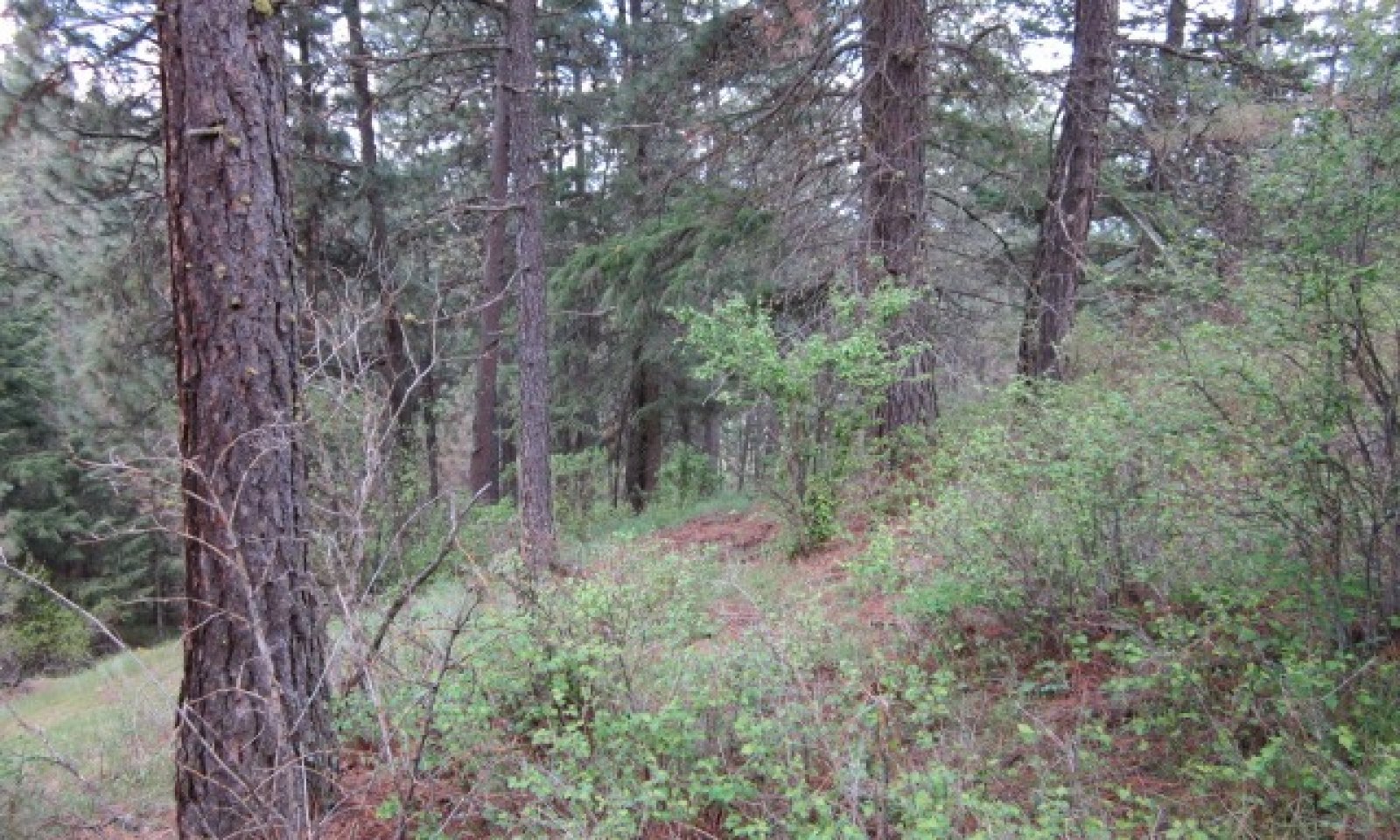
Warm Mesic Xeric Loamy Slopes (Ponderosa Pine/Shrub) Pinus Ponderosa /Symphoricarpos albus, Pinus Ponderosa / Physocarpus malvaceus
Scenario model
Current ecosystem state
Select a state
Management practices/drivers
Select a transition or restoration pathway
- Transition T1A More details
- Transition T1B More details
- Restoration pathway R2A More details
-
No transition or restoration pathway between the selected states has been described
Target ecosystem state
Select a state
Description
Reference State – Mature Ponderosa Pine Woodland- State 1
This state is relatively stable with long fire intervals maintaining a mature stand of ponderosa pine over a host of shrubs. Pine regeneration after any type of disturbance creating understory gaps will be variable due to shrub competition. Western pine beetle kill and windfall will create snags and down wood.
Forest productivity is measured using site index (SI) and culmination of annual increment (CMAI). This ecological site is the most productive of the pure pine sites. Ponderosa pine is the only tree species and site indexes ranges greatly depending on local site characteristics. NRCS forest site index plots taken throughout MLRA 430 shows this variability. Site index ranges from 70 - 130. Average site index for this ecological site will be 95 - 105 feet using Meyers 100year total age table. Using the average SI CMAI would be 102 cubic feet/acre/year at 40 years of age in a fully stocked stand.
Submodel
Description
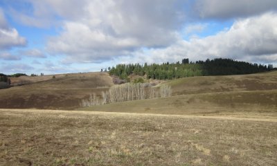
This state developed from past overgrazing or other disturbance and where Kentucky bluegrass and/or Canada bluegrass invaded from adjacent areas. Shrub coverage is low. A mature stand of pine usually exists.
Submodel
Description
Much of this Ecological Site is located at lower elevations where humans (Native and European) settled. These areas were converted to homesteads, pastures, and cropland. In recent times urban expansion has converted these sites to housing developments, shopping malls, and/or business centers.
Submodel
Mechanism
Introduced grasses invaded site and changed understory composition. Overgazing further reduced native vegetation.
Transition T1B


Mechanism
Sites converted to other land uses.
Model keys
Briefcase
Add ecological site groups and Major Land Resource Areas to your briefcase by clicking on the briefcase (![]() ) icon wherever it occurs. Drag and drop items to reorder. Cookies are used to store briefcase items between browsing sessions. Because of this, the number of items that can be added to your briefcase is limited, and briefcase items added on one device and browser cannot be accessed from another device or browser. Users who do not wish to place cookies on their devices should not use the briefcase tool. Briefcase cookies serve no other purpose than described here and are deleted whenever browsing history is cleared.
) icon wherever it occurs. Drag and drop items to reorder. Cookies are used to store briefcase items between browsing sessions. Because of this, the number of items that can be added to your briefcase is limited, and briefcase items added on one device and browser cannot be accessed from another device or browser. Users who do not wish to place cookies on their devices should not use the briefcase tool. Briefcase cookies serve no other purpose than described here and are deleted whenever browsing history is cleared.
Ecological site groups
Major Land Resource Areas
The Ecosystem Dynamics Interpretive Tool is an information system framework developed by the USDA-ARS Jornada Experimental Range, USDA Natural Resources Conservation Service, and New Mexico State University.
