
Ecological site group EX043AESG06
Warm-Frigid, Moist-Xeric, Hill and Mountain Slopes (Grand Fir Warm Dry Shrub) Abies grandis - Pseudotsuga menziesii / Physocarpus malvaceus - Symphoricarpos albus
Last updated: 05/02/2025
Accessed: 04/03/2026
Ecological site group description
Key Characteristics
None specified
Provisional. A provisional ecological site description has undergone quality control and quality assurance review. It contains a working state and transition model and enough information to identify the ecological site.
Physiography
Major land resource area (MLRA): 043A-Northern Rocky Mountains
Modal LRU – 43A04 Selkirk Mountains
This LRU is composed predominantly of mid to high elevation mountain slopes, foothills and valley walls. The soils tend to be loamy andisols, inceptisols, and alfisols with distinct ash surfaces. Till, outwash and residuum from granitic or metamorphic rock are the dominant parent materials. Soil climate is a frigid temperature regime and xeric moisture regime with average annual precipitation around 700 mm (28 inches).
Others where occurring – 43A02 - Western Selkirk Highlands
43A03 – Columbia-Colville Valleys
44A01 - Spokane-Rathdrum Outwash Plain
44A02 - Pend Oreille-Kootenai Valleys
Ecological Site Concept:
The data below describes the physiographic, climatic and other parameters for the Grand Fir Warm Dry Shrub ES group as a whole. This vegetation alliance is widespread so a central tendency for each parameter is also described. See Appendix A for a finer division of the alliance based on selected soil features.
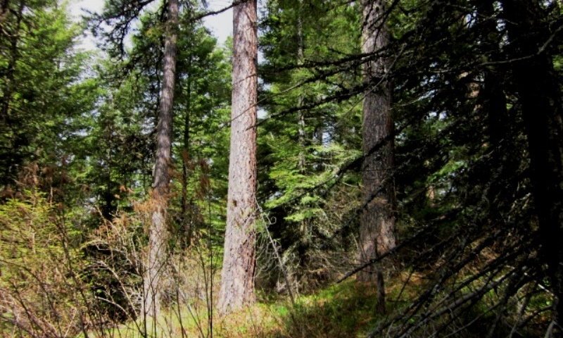
This ES group is distinguished by an overstory of grand fir and Douglas-fir and an understory shrub component of ninebark, oceanspray, snowberry and /or twinflower. It occurs on foothills, mountainsides, and terraces. This ES group fits into the National Vegetation Standard’s Grand Fir - Douglas-fir Central Rocky Mountain Forest & Woodland Alliance and Washington State’s Natural Heritage Program’s Northern Rocky Mt. Mesic Montane Mixed Conifer Forest.
Physiographic Features
This ecological site occurs mainly on forested backslopes of mountains and hills, and summits and treads of outwash terraces. Parent materials are till derived from mixed origins, outwash, and residuum and colluvium derived from igneous (granitic) and metamorphic rock thinly mantled by volcanic ash and loess.
Landscapes: Mountains, Foothills, Valleys
Landforms: Mountain slope, Hill slope, Outwash Terraces
Elevation:
Total range = 390 to 1665 m
(1,280 to 5,460 feet)
Central tendency = 735 to 1105 m
(2,410 to 4,200 feet)
Slope (percent):
Total range = 0 to 65 percent
Central tendency = 7 to 30 percent
Water Table Depth:
40 cm to >200 cm
(16 to >80 inches)
Flooding:
Frequency: None
Duration: None
Ponding:
Frequency: None
Duration: None
Aspect: 140-205-310 in 43A03, 43A04, 44A01 and 44A02
0-30-112 in 43A02
Climate
Climatic Features
During the spring and summer, a circulation of air around a high-pressure center brings a prevailing westerly and northwesterly flow of comparatively dry, cool and stable air into the region. As the air moves inland, it becomes warmer and drier which results in a dry season beginning in the late spring and reaching a peak in mid-summer. In the fall and winter, a circulation of air around two pressure centers over the ocean brings a prevailing southwesterly and westerly flow of air into the Pacific Northwest. This air from over the ocean is moist and near the temperature of the water. Condensation occurs as the air moves inland over the cooler land and rises along the windward slopes of the mountains or highlands. This results in a wet season beginning in October, reaching a peak in winter, then gradually decreasing in the spring.
The elevation within the LRU varies from approximately 1,500 feet in the lower river valleys to over 7,000 feet in the higher terrain. The annual precipitation increases from 20 inches in the valleys to over 52 inches over the higher mountains. Winter season snowfall varies from 30 to 50 inches. Both rainfall and snowfall increase in the higher elevations. Snow can be expected after the first of November and to remain on the ground from the first of December until March or April.
In January, the average maximum temperature is near 31° F and the minimum temperature is 18° F. Minimum temperatures from -10° to -20°F are recorded almost every winter and temperatures ranging to -30° F have been recorded. In July, the average maximum temperature is 85° to 90° and the minimum temperature 45° to 50° F. Maximum temperatures reach 100° F on a few afternoons each summer and temperatures between 105° to 110° F have been recorded. Temperatures in the mountains decrease three to five degrees Fahrenheit with each 1,000 feet increase in elevation. The average date of the last freezing temperatures can be expected by mid-May and before mid-October in the warmer areas.
(Compiled from WRCC: Climate of Washington and available station data)
Frost-free period (days):
Total range = 80 to 140 days
Central tendency = 105 to 115 days
Mean annual precipitation (cm):
Total range = 320 to 1155 mm
(13 to 45 inches)
Central tendency = 590 to 815 mm
(23 to 32 inches)
MAAT (C)
Total range = 3.3 to 9.6
(38 to 48 F)
Central tendency = 5.9 to 7.5
(43 to 46 F)
Climate stations: (WA) CHEWELA, CHEWELAH 4 SSW, CHEWELAH MTN LOOKOUT, COLVILLE, COLVILLE 5 NE, COLVILLE AP, EUREKA, IONE, IRENE MTN WAUCONDA, KETTLE FALLS, LAURIER, LOCKE, METALINE FALLS, QUARTZ LOOKOUT, SPIRIT, Cliff Ridge, Flowery Trail, Tacoma Creek, Teepee Seed Orchard ; (ID) ATHOL, BAYVIEW MODEL BASIN
Soil features
Representative Soil Features
This ecological site is associated with several soil components. The soil components can be grouped into five soil suborders. These are the Xerpets, Xerands, Xeralfs, Vitrands and Xerolls. These soils have developed in various thicknesses of Mazama tephra deposits (often highly mixed with loess) over a number of other parent materials. These parent materials are dominantly: glacial till, outwash and material weathered from granite, gneiss or schist.. The tephra layers are important for forest productivity. Where present in sufficient thickness they can: retain large amounts of water compared to other parent materials, increase cation exchange capacity and have high availability of organically bound plant nutrients.
Parent Materials:
Kind: Tephra (volcanic ash)
Origin: mixed
Kind: Till, Outwash
Origin: mixed
Kind: residuum and colluvium
Origin: Granite, Metasedimentary, other metamorphic rock
Surface Texture: (<2mm fraction)
(1) Ashy Silt Loam
(2) Ashy Loam
(3) Ashy Sandy Loam
Surface Fragments
Vegetation dynamics
Ecological Dynamics of the Site
This site is the warmest extent where grand fir can be an overstory component. As the temperature gradient gets warmer Douglas-fir and ponderosa pine habitat types occur. Above this temperature gradient (cooler) subalpine fir habitats exist. Relative to moisture this is the driest grand fir habitat type. As moister increases grand fir/herb, cedar, and cedar-hemlock habitat types occur. Fire disturbance is a major factor in mature stand development. Frequent fires create an open stand of western larch, ponderosa pine, and Douglas-fir with a mixed understory of shrubs, grass, and herbs. Mixed severity fires create a patchy forest overstory with shrubs and grass understory. Fire exclusion allows grand fir to establish and become an overstory component with Douglas-fir. Stands in this condition are subject to stand replacing fires. Root rot can become a problem in these older stands dominated by Douglas-fir and grand fir.
The moister end of this ES lies in Northern Idaho where grand fir is more prominent in stand composition and western larch can be a major stand component. As this ES extends westward grand fir is near its ecological limit and is a minor stand component. Douglas-fir and ponderosa pine are the major tree species. In this warmer environment this ESG looks very similar to the Douglas-fir/ninebark ESG.
Major Land Resource Area
MLRA 043A
Northern Rocky Mountains
Subclasses
- F043AY521WA–Warm-Frigid, Moist- Xeric Loamy Foothills/Mountainsides, ashy surface (Grand Fir Warm Dry Shrub) Abies grandis - Pseudotsuga menziesii / Physocarpus malvaceus - Symphoricarpos albus
- F043AY522WA–Warm-Frigid, Moist- Xeric Loamy Foothills/Mountainsides, mixed ash surface (Grand Fir Warm Dry Shrub) Abies grandis - Pseudotsuga menziesii / Physocarpus malvaceus - Symphoricarpos albus
- F043AY523WA–Warm-Frigid, Moist- Xeric Loamy Foothills/Mountainsides, low AWC subsoils (Grand Fir Warm Dry Shrub) Abies grandis - Pseudotsuga menziesii / Physocarpus malvaceus - Symphoricarpos albus
Stage
Provisional


Click on box and path labels to scroll to the respective text.