
Ecological site group EX043AESG14
Warm-Frigid, Moist- Xeric, Unglaciated, Loamy, Foothills and Mountainsides (Grand Fir Warm Dry Shrub) Grand fir - Douglas-fir / mallow ninebark - common snowberry
Last updated: 05/02/2025
Accessed: 04/03/2026
Ecological site group description
Key Characteristics
None specified
Provisional. A provisional ecological site description has undergone quality control and quality assurance review. It contains a working state and transition model and enough information to identify the ecological site.
Physiography
Major land resource area (MLRA): 043A-Northern Rocky Mountains
Modal LRU – 43A09 Western Bitterroot Foothills
This LRU is composed predominantly of low to mid elevation foothills, mid elevation mountain slopes and valley walls, and low elevation canyons. The soils tend to be loamy andisols, inceptisols, and alfisols with distinct or mixed ash surfaces. residuum and colluvium from metasedimentary, granitic or metamorphic rock are the dominant parent materials. Soil climate is a frigid or mesic temperature regime and xeric or udic moisture regime with average annual precipitation around 895 mm (35 inches).
Others where occurring – 43A07 - Eastern Columbia Plateau Embayments
Ecological Site Concept:
The data below describes the physiographic, climatic and other parameters for the Grand Fir Warm Dry Shrub ES group as a whole. This vegetation alliance is widespread so a central tendency for each parameter is also described.
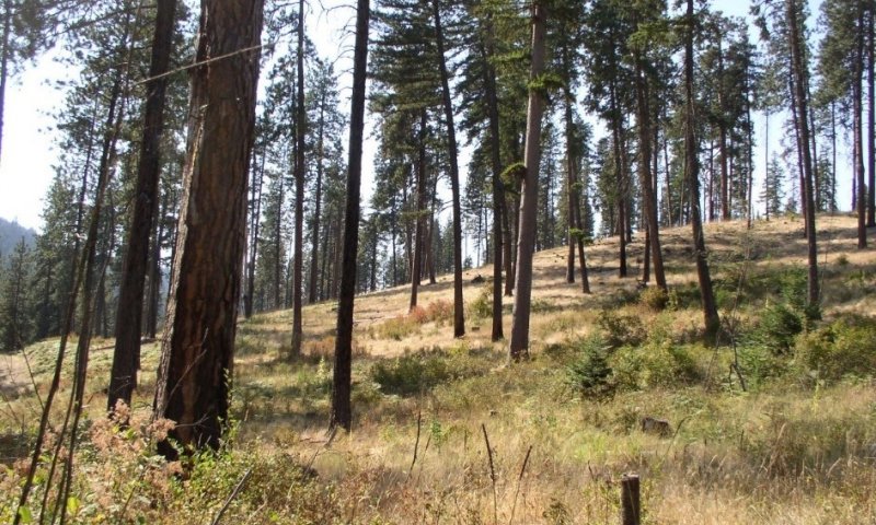
This ES group is distinguished by an overstory of grand fir and Douglas-fir and an understory shrub component of ninebark, oceanspray, snowberry and /or twinflower. It occurs on foothills, mountainsides, and terraces. This ES group fits into the National Vegetation Standard’s Grand Fir - Douglas-fir Central Rocky Mountain Forest & Woodland Alliance and Washington State’s Natural Heritage Program’s Northern Rocky Mt. Mesic Montane Mixed Conifer Forest.
Physiographic Features
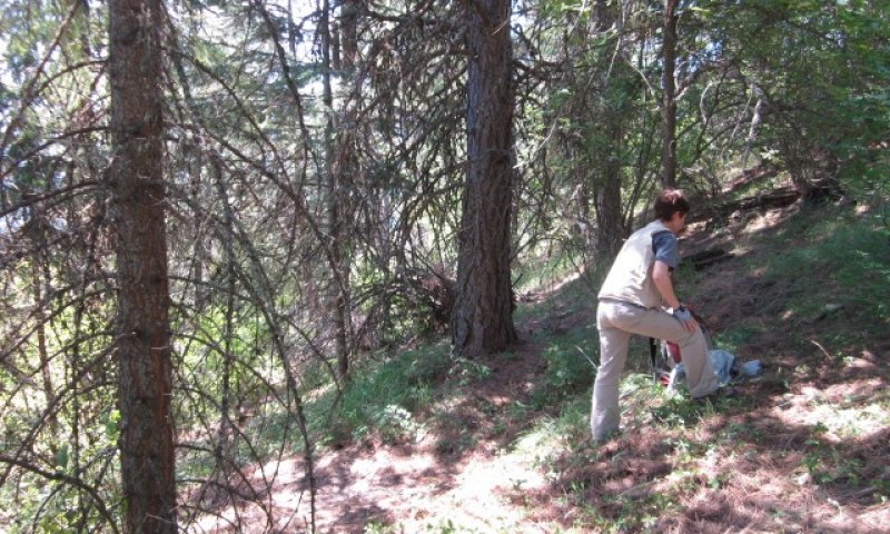
This ecological site occurs mainly on forested backslopes of mountains, hills, and canyon walls. Parent materials are residuum and colluvium derived from granite, basalt, metasedimentary or metamorphic rock thinly mantled by volcanic ash and loess.
Landscapes: Mountains, Foothills, Canyonlands, Plateaus
Landforms: Mountain slope, Hill slope, Canyon walls, Structural Benches, Escarpments
Elevation:
Total range = 505 to 1310 m
(1,655 to 4,295 feet)
Central tendency = 805 to 1005 m
(2,640 to 3,295 feet)
Slope (percent):
Total range = 0 to 70 percent
Central tendency = 15 to 40 percent
Water Table Depth:
20 to >80 inches
Flooding:
Frequency: None
Duration: None
Ponding:
Frequency: None
Duration: None
Aspect: Total range: 45-205-355
Central tendency: 125-205-280
Climate
Climatic Features
The climate of this portion of the MLRA is controlled by a combination of large-scale and small-scale factors. The large-scale factors include latitude, relative position on the North American continent, prevailing hemispheric wind patterns, and extensive mountain barriers. Small-scale or local factors include the topographic setting and position (valley, slope, or ridge location), as well as orientation or aspect, and vegetative cover. Broadly, the climate is transitional between a northern Pacific coastal type and a continental type. The Pacific influence is noted particularly by the late autumn and winter maximum in cloudiness and precipitation and in the relatively moderate average winter temperatures, compared with areas east of the Rocky Mountains. Summer is characteristically sunny and dry, though July and August are the only distinct summer months. July and August are thus also the peak fire-danger months. Annual precipitation (rain and melted snow) averages as little as 10 inches at the lowest canyon floors; over 100 inches at the highest elevations. Wettest months are normally November, December, and January. Close to 60 percent of the annual total occurs during the period November through March. A slight, secondary peak in precipitation normally appears in May and June, followed by a sharp decrease in July. Snowfall accounts for more than 50 percent of the total precipitation at elevations above 4,800 ft. Snow cover usually persists in the mid elevation valleys from early December through the end of March. High-elevation snowpack reaches a depth of 5 ft or more in March and April and may linger into June. The main season of lightning (or thunderstorm) activity extends from late May through August. Storms occur on an average of 3 or 4 days each in June, July, and August. Monthly mean temperatures in populated valley locations range from 24 F (-4 C) in January to 65 F (18 C) in July; these are midpoint values between the average daily maximum and minimum temperatures. The annual mean is 43 F (6 C). A large diurnal range occurs in summer. Extreme temperatures have been as high as 103 to 105 F (about 40 C) and as low as -36 F (-38 C). Temperature inversions are commonplace, particularly on the clear summer and early autumn nights. The frost-free season, defined as the period with minimum temperatures staying above 32 F (0 C), varies widely with elevation and topographic position. The season is generally longer at lower elevation locations and on slope positions in the "thermal belt" around 3,500 ft. The season is shorter in positions affected by cold air drainage and slopes above the “thermal belt” at elevations >5,500 ft. Relative humidity is usually high throughout the day in late autumn and winter, averaging 70 to 80 percent or higher in midafternoon. In July and August, afternoon values average near 35 percent in the mid elevation valleys and 45 percent at 5,500 ft. Summer nighttime humidity in these valleys typically recovers to over 90 or 95 percent by dawn. On the slopes above the temperature inversion, at the same time, humidity may average only 50 to 60 percent. Winds have a prevailing (most frequent) direction from the southwest during all or most of the year. Local terrain effects modify the larger-scale wind that occurs in the adjacent free atmosphere. A nighttime drainage effect is common. Sunshine duration is at a minimum in December, when it may average only 20 percent of the maximum possible. July has close to 80 percent of the maximum possible.
(from Finklin, A. 1983. Climate of Priest River Experimental Forest, Northern Idaho.GTR-INT-159)
Frost-free period (days):
Total range = 75 to 145 days
Central tendency = 100 to 115 days
Mean annual precipitation (cm):
Total range = 440 to 1210 mm
(17 to 48 inches)
Central tendency = 730 to 920 mm
(29 to 36 inches)
MAAT (C)
Total range = 5.1 to 9.5
(41 to 49 F)
Central tendency = 6.8 to 7.9
(44 to 46 F)
Climate stations: Deary, Dent, Moscow 5 NE, Pete King RS, Plummer 3 WSW, Potlatch 1 SE, Princeton 5 SE, Saint Maries 1 W
Soil features
Representative Soil Features
This ecological site is associated with several soil components. The soil components can be grouped into four soil Great Groups. These are the Haploxeralfs, Fragixeralfs, Haploxerepts, and Vitrixerands. These soils have developed in various thicknesses of Mazama tephra deposits (often highly mixed with loess) over a number of other parent materials. These parent materials include material weathered from granite, gneiss or schist, basalt or metasedimentary rock as well as Tertiary age sediments. The tephra layers are important for forest productivity. Where present in sufficient thickness they can: retain large amounts of water compared to other parent materials, increase cation exchange capacity and have high availability of organically bound plant nutrients.
Parent Materials:
Kind: Tephra (volcanic ash)
Origin: mixed
Kind: loess, alluvium
Origin: mixed
Kind: residuum and colluvium
Origin: Granite, Basalt, Metasedimentary, other Metamorphic rock
Surface Texture:
(1) Ashy Silt Loam
(2) Gravelly Ashy Silt Loam
(3) Ashy Loam
Surface Fragments
Vegetation dynamics
Ecological Dynamics of the Site
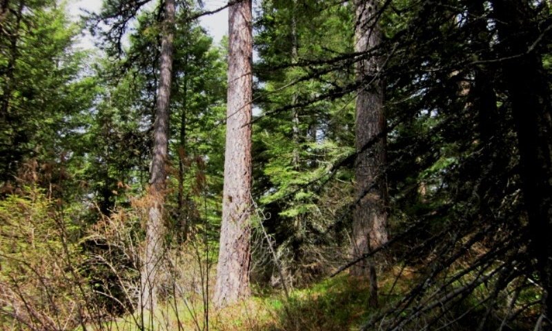
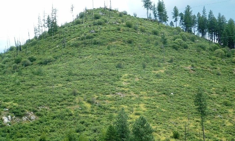
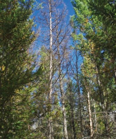
This site is the warmest extent where grand fir can be an overstory component. As the temperature gradient gets warmer Douglas-fir and ponderosa pine habitat types occur. Above this temperature gradient (cooler) subalpine fir habitats exist. Relative to moisture this is the driest grand fir habitat type. As moister increases grand fir/herb, cedar, and cedar-hemlock habitat types occur. Fire disturbance is a major factor in mature stand development. Frequent fires create an open stand of western larch, ponderosa pine, and Douglas-fir with a mixed understory of shrubs, grass, and herbs. Mixed severity fires create a patchy forest overstory with shrubs and grass understory. Fire exclusion allows grand fir to establish and become an overstory component with Douglas-fir. Stands in this condition are subject to stand replacing fires. Root rot can become a problem in these older stands dominated by Douglas-fir and grand fir.
.
Major Land Resource Area
MLRA 043A
Northern Rocky Mountains
Subclasses
- F043AY547ID–Fragipan Foothills 24-30" PZ Frigid Eastern Columbia Plateau Embayments
- F043AY548ID–Loamy-skeletal Hills and Mountains 24-30" PZ Frigid Western Bitterroot Foothills
- F043AY549ID–Ashy over loamy-skeletal Mountains 24-30" PZ Frigid Bitterroot Metasedimentary Zone
- F043AY550ID–Ashy Metasedimentary Hills and Mountains 24-30" PZ Frigid Western Bitterroot Foothills
- F043AY551ID–Ashy Basalt Hills and Mountains 24-30" PZ Frigid Eastern Columbia Plateau Embayments
- F043AY552ID–Ashy Hills and Mountains 24-30" PZ Frigid Western Bitterroot Foothills
- F043AY553ID–Vitrandic Hills and Mountains 24-30" PZ Frigid Western Bitterroot Foothills
Stage
Provisional
Contributors
Gary Kuhn

Click on box and path labels to scroll to the respective text.