Bog or Fen
Scenario model
Current ecosystem state
Select a state
Management practices/drivers
Select a transition or restoration pathway
- Transition T1A More details
- Transition T1B More details
- Restoration pathway R2A More details
- Transition T2A More details
- Restoration pathway R3A More details
- Restoration pathway R3B More details
-
No transition or restoration pathway between the selected states has been described
Target ecosystem state
Select a state
State 1
Reference


Description
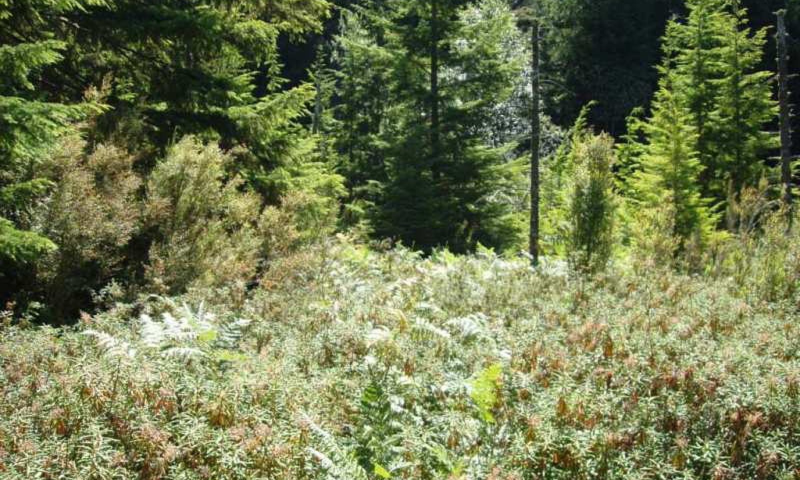
These wetland plant communites occur in peatlands. These wetlands are usually occur as patch communites in river valleys, in depressions, around lakes and marshes, or on slopes. Near salt water these organic soils are characterized by an abundance of sodium cations from oceanic precipitation. Poor fens and bogs are the most common type and are often intermixed. Sphagnum characterizes poor fens and bogs (pH <5.5), and the two are lumped here, while "brown mosses" and sedges characterize rich fens (pH >5.5). Mire profiles in may be flat, raised (domed), or sloping, but most occurrences in Washington are flat with only localized hummock development.
Submodel
Description
The major agents of wetland disturbances have been beavers, floods, landslides, tsunamis, windthrow, fire, and people. People affect the water regime with impoundments, drainage systems and cropping, road building, dredging, mining and other changes. These wetland disturbance agents shape the development of different types of vegetation by mediating the supply, movement, and chemistry of water and sediments.
Submodel
Mechanism
Change in water regime to one with more inflow and outflow from the site, or increased water depth. Causes may include beaver dam impoundment, dredging, mining activity, or changes in local surface hydrology.
Mechanism
Drainage of site to lower the water table to the level necessary to grow the selected crop. Practices may include ditching, tile drainage, diversion of water inflows and/or removal of woody material.
Mechanism
Restoration of water regime through management of depth control structures and/or management of water inflows and outflows.
Mechanism
Drainage of site to lower the water table to the level necessary to grow the selected crop. Practices may include ditching, tile drainage, diversion of water inflows and/or removal of woody material.
Mechanism
Restoration of water regime through depth control structures and/or management of water inflows and outflows.
Model keys
Briefcase
Add ecological sites and Major Land Resource Areas to your briefcase by clicking on the briefcase (![]() ) icon wherever it occurs. Drag and drop items to reorder. Cookies are used to store briefcase items between browsing sessions. Because of this, the number of items that can be added to your briefcase is limited, and briefcase items added on one device and browser cannot be accessed from another device or browser. Users who do not wish to place cookies on their devices should not use the briefcase tool. Briefcase cookies serve no other purpose than described here and are deleted whenever browsing history is cleared.
) icon wherever it occurs. Drag and drop items to reorder. Cookies are used to store briefcase items between browsing sessions. Because of this, the number of items that can be added to your briefcase is limited, and briefcase items added on one device and browser cannot be accessed from another device or browser. Users who do not wish to place cookies on their devices should not use the briefcase tool. Briefcase cookies serve no other purpose than described here and are deleted whenever browsing history is cleared.
Ecological sites
Major Land Resource Areas
The Ecosystem Dynamics Interpretive Tool is an information system framework developed by the USDA-ARS Jornada Experimental Range, USDA Natural Resources Conservation Service, and New Mexico State University.


