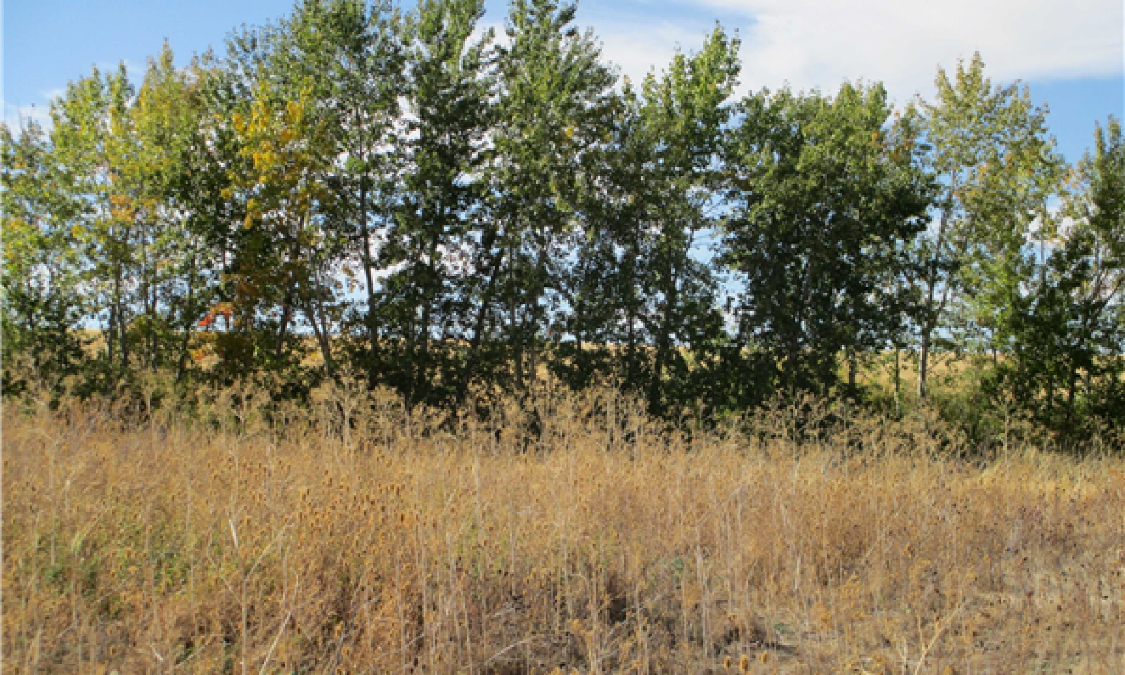
Moderately Sloping Plateau Riparian Complex
Scenario model
Current ecosystem state
Select a state
Management practices/drivers
Select a transition or restoration pathway
- Transition T1A More details
- Restoration pathway R2A More details
- Transition T2A More details
- Restoration pathway R3A More details
-
No transition or restoration pathway between the selected states has been described
Target ecosystem state
Select a state
Description
The historic or unaltered condition for this ecological site is based on current conditions and expected stream development in the associated alluvial valley type and valley slope (1 to 7 percent). It is presumed that historic channels had greater meander, stable stream banks, high riparian cover, were less incised, and were hydrologically connected to the floodplains. Most of this ecological site has been disturbed by cultivation for crops, physical stream alterations, the introduction of non-native species and other disturbances, so it is difficult to find data to describe this state and its phases.
Submodel
Description
This state is defined by unstable, incised, transitional G and F type channels. As channel incision occurs the water table is lowered and flow is contained within the channel, reducing over bank flooding. G type channels are narrow and deep, with reduced sinuosity. The unstable banks of the G type channel erode rapidly into a wider and shallower entrenched F type channel.
Submodel
State 3
Impaired Hydrologic Function



Description
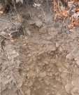
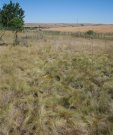
This state develops as new, limited floodplains develop along the deeply entrenched channel. The new floodplains are at a lower elevation than the original floodplain, and are more confined. The majority of this ecological site currently exists in this state. This state may have B or Ba type channel morphology, depending upon slope and entrenchment ratios.
Submodel
Mechanism
The most common trigger for this transition is manipulation of the stream channel for farming. Grazing by cattle and feral horses reduces riparian vegetation and physical trampling from their hooves may cause bank erosion. Manipulation of the stream channel typically reduces sinuosity, and increases velocity and scour potential. Sometimes these streams are completely relocated into areas without a natural stream channel, and the redirected streams form unnatural gullies. Natural streams may also resemble a gully, due to the straight, incised channel morphology. As meander decreases and the stream downcuts with the increased velocity, a G type channel develops.
Mechanism
Restoration from State 2 to State 1 requires site-specific stream surveying in order to determine the best restoration approach. Restoration may not be feasible due to easily erodible loess soils, and a high degree of channel alterations. Stream restoration projects in similar conditions are not common. Restoration efforts should attempt to increase stream channel meander and stream bed elevation, with a focus on restoring riparian vegetation and preserving the erodible soils. Willow check dams may help raise the channel bed. Efforts should be made to control noxious weeds and increase the cover by native species.
Mechanism
This transition occurs as the channel develops more sinuosity and creates a new floodplain, with an entrenched Ba channel type. Ba type channels have similar morphology as a B type channel, but have lower sinuosity, are more deeply entrenched, and have steeper channel gradients.
Model keys
Briefcase
Add ecological sites and Major Land Resource Areas to your briefcase by clicking on the briefcase (![]() ) icon wherever it occurs. Drag and drop items to reorder. Cookies are used to store briefcase items between browsing sessions. Because of this, the number of items that can be added to your briefcase is limited, and briefcase items added on one device and browser cannot be accessed from another device or browser. Users who do not wish to place cookies on their devices should not use the briefcase tool. Briefcase cookies serve no other purpose than described here and are deleted whenever browsing history is cleared.
) icon wherever it occurs. Drag and drop items to reorder. Cookies are used to store briefcase items between browsing sessions. Because of this, the number of items that can be added to your briefcase is limited, and briefcase items added on one device and browser cannot be accessed from another device or browser. Users who do not wish to place cookies on their devices should not use the briefcase tool. Briefcase cookies serve no other purpose than described here and are deleted whenever browsing history is cleared.
Ecological sites
Major Land Resource Areas
The Ecosystem Dynamics Interpretive Tool is an information system framework developed by the USDA-ARS Jornada Experimental Range, USDA Natural Resources Conservation Service, and New Mexico State University.
