Natural Resources
Conservation Service
Ecological site R010XA018OR
Juniper Shrubby Loam 10-12 PZ
Last updated: 5/06/2025
Accessed: 04/03/2026
General information
Provisional. A provisional ecological site description has undergone quality control and quality assurance review. It contains a working state and transition model and enough information to identify the ecological site.
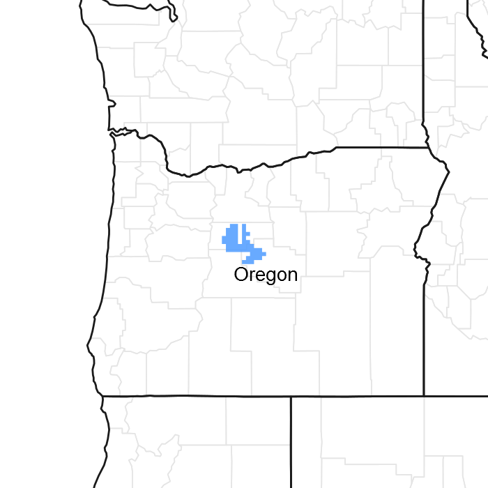
Figure 1. Mapped extent
Areas shown in blue indicate the maximum mapped extent of this ecological site. Other ecological sites likely occur within the highlighted areas. It is also possible for this ecological site to occur outside of highlighted areas if detailed soil survey has not been completed or recently updated.
MLRA notes
Major Land Resource Area (MLRA): 010X–Central Rocky and Blue Mountain Foothills
This MLRA is characterized by gently rolling to steep hills, plateaus, and low mountains at the foothills of the Blue Mountains in Oregon and the Central Rocky Mountains in Idaho. The geology of this area is highly varied and ranges from Holocene volcanics to Cretaceous sedimentary rocks. Mollisols are the dominant soil order and the soil climate is typified by mesic or frigid soil temperature regimes, and xeric or aridic soil moisture regimes. Elevation ranges from 1,300 to 6,600 feet (395 to 2,010 meters), increasing from west to east. The climate is characterized by dry summers and snow dominated winters with precipitation averaging8 to 16 inches (205 to 405 millimeters) and increasing from west to east. These factors support plant communities with shrub-grass associations with considerable acreage of sagebrush grassland. Big sagebrush, bluebunch wheatgrass, and Idaho fescue are the dominant species. Stiff sagebrush, low sagebrush, and Sandberg bluegrass are often dominant on sites with shallow restrictive layers. Western juniper is one of the few common tree species and since European settlement has greatly expanded its extent in Oregon. Nearly half of the MLRA is federally owned and managed by the Bureau of Land Management. Most of the area is used for livestock grazing with areas accessible by irrigation often used for irrigated agriculture.
Associated sites
| R010XA009OR |
Juniper Shrubby Pumice Flat 10-12 PZ |
|---|
Similar sites
| R010XA019OR |
Shrubby Loam 8-12 PZ |
|---|---|
| R010XA001OR |
Loamy 8-10 PZ |
Table 1. Dominant plant species
| Tree |
(1) Juniperus occidentalis |
|---|---|
| Shrub |
(1) Purshia tridentata |
| Herbaceous |
(1) Pseudoroegneria spicata ssp. spicata |
Click on box and path labels to scroll to the respective text.