Loamy Upland 16-24" PZ
Scenario model
Current ecosystem state
Select a state
Management practices/drivers
Select a transition or restoration pathway
-
Transition T1A
Extensive soil disturbance and introduction of improved forage species
More details -
Transition T2A
Extensive soil disturbance and active soil erosion
More details -
No transition or restoration pathway between the selected states has been described
Target ecosystem state
Select a state
Description
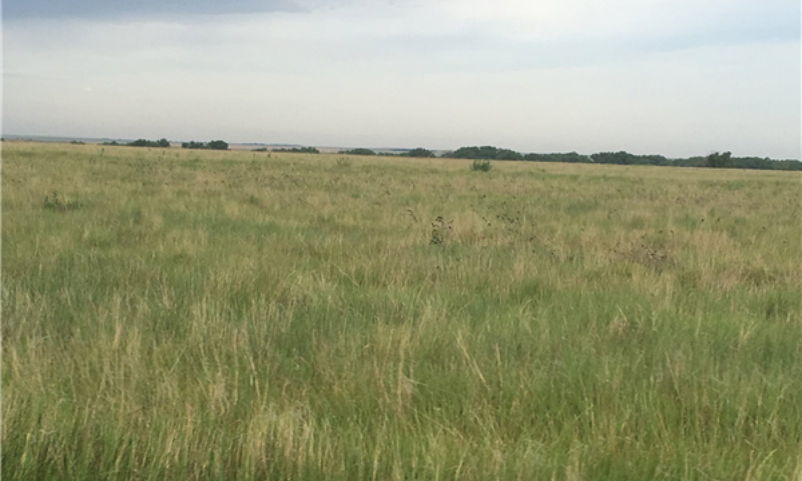
This is the reference or diagnostic community for the site. The description is based on early range site descriptions, clipping data, professional consensus of experienced range specialists, and analysis of field work.
Submodel
Description
This is an alternative state from the reference. Hydrologic and ecological functions have been altered. The site is in current crop production or has been tilled and seeded to an introduced forage. The hydrology has been altered and requires different management. See Soil Survey or Extension publications for yield data.
Description
This is an alternative state from the reference. Hydrologic and ecological functions have been altered. This state is the result of water erosion over bare soil. Most of the "A" horizon of the soil profile has been displaced. The remaining subsoil is very low in fertility. Some native grasses and forbs will persist in this state, however, production is greatly reduced.
Model keys
Briefcase
Add ecological sites and Major Land Resource Areas to your briefcase by clicking on the briefcase (![]() ) icon wherever it occurs. Drag and drop items to reorder. Cookies are used to store briefcase items between browsing sessions. Because of this, the number of items that can be added to your briefcase is limited, and briefcase items added on one device and browser cannot be accessed from another device or browser. Users who do not wish to place cookies on their devices should not use the briefcase tool. Briefcase cookies serve no other purpose than described here and are deleted whenever browsing history is cleared.
) icon wherever it occurs. Drag and drop items to reorder. Cookies are used to store briefcase items between browsing sessions. Because of this, the number of items that can be added to your briefcase is limited, and briefcase items added on one device and browser cannot be accessed from another device or browser. Users who do not wish to place cookies on their devices should not use the briefcase tool. Briefcase cookies serve no other purpose than described here and are deleted whenever browsing history is cleared.
Ecological sites
Major Land Resource Areas
The Ecosystem Dynamics Interpretive Tool is an information system framework developed by the USDA-ARS Jornada Experimental Range, USDA Natural Resources Conservation Service, and New Mexico State University.