Clayplain
Scenario model
Current ecosystem state
Select a state
Management practices/drivers
Select a transition or restoration pathway
- Transition T1A More details
- Transition R2A More details
- Restoration pathway R3A More details
- Transition T3A More details
-
No transition or restoration pathway between the selected states has been described
Target ecosystem state
Select a state
Description
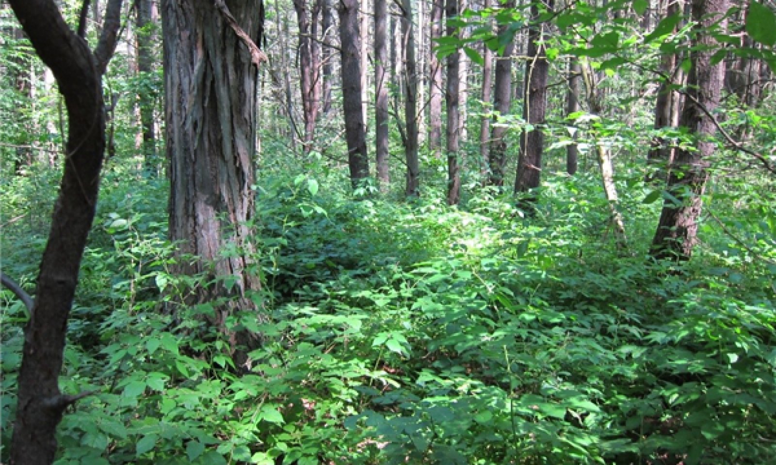
This state represents the mesic clayplain forest, characterized by green ash and slippery elm. Associated trees may include northern white cedar, basswood, eastern hemlock, red maple, shagbark hickory, and white pine. The tree canopy is generally closed to partially open. Shrub and herb layers are of variable cover; American hornbeam and southern arrowwood form an open shrub layer. Common herbaceous species include sensitive fern, jack-in-the-pulpit, jewelweed, slender sedge, enchanter’s nightshade, and parasol whitetop aster.
Submodel
Description
This state bears no resemblance to the reference state or earlier successional states. All native vegetation has been removed, and soils have
been severely disturbed by tilling. Corn is a typical agricultural crop on this site.
Description
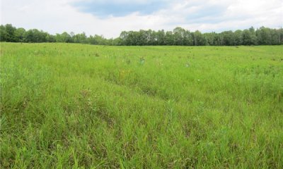
This state is short-lived without active management, and arises from natural succession following cessation of agriculture. Early successional species, including exotic invasives, become established on bare soil.
Submodel
Mechanism
This transition occurs as a result of agriculture. All native vegetation is removed, and soils are tilled and planted with crops, usually corn.
Mechanism
This transition requires the manual removal of invasive species and possibly planting, followed by natural succession to the reference state.
Relevant conservation practices
| Practice | External resources |
|---|---|
|
Tree/Shrub Establishment |
|
|
Upland Wildlife Habitat Management |
|
|
Native Plant Community Restoration and Management |
|
|
Herbaceous Weed Control |
Model keys
Briefcase
Add ecological sites and Major Land Resource Areas to your briefcase by clicking on the briefcase (![]() ) icon wherever it occurs. Drag and drop items to reorder. Cookies are used to store briefcase items between browsing sessions. Because of this, the number of items that can be added to your briefcase is limited, and briefcase items added on one device and browser cannot be accessed from another device or browser. Users who do not wish to place cookies on their devices should not use the briefcase tool. Briefcase cookies serve no other purpose than described here and are deleted whenever browsing history is cleared.
) icon wherever it occurs. Drag and drop items to reorder. Cookies are used to store briefcase items between browsing sessions. Because of this, the number of items that can be added to your briefcase is limited, and briefcase items added on one device and browser cannot be accessed from another device or browser. Users who do not wish to place cookies on their devices should not use the briefcase tool. Briefcase cookies serve no other purpose than described here and are deleted whenever browsing history is cleared.
Ecological sites
Major Land Resource Areas
The Ecosystem Dynamics Interpretive Tool is an information system framework developed by the USDA-ARS Jornada Experimental Range, USDA Natural Resources Conservation Service, and New Mexico State University.


