
Natural Resources
Conservation Service
Ecological site R051XY279CO
Foothill Sand 9-12 PZ
Last updated: 12/11/2024
Accessed: 02/21/2026
General information
Provisional. A provisional ecological site description has undergone quality control and quality assurance review. It contains a working state and transition model and enough information to identify the ecological site.
MLRA notes
Major Land Resource Area (MLRA): 051X–High Intermountain Valleys
This MLRA encompasses the San Luis Valley in south central Colorado and the Taos Plateau and Taos alluvial fans of north central New Mexico. As part of the northern portion of the Rio Grande Rift, the MLRA consists of large, alluvium filled basins washed down from adjacent mountain ranges. The Rio Grande River flows through this MLRA, continuing its long function of carrying mountain sediment down to the basin. Cenozoic volcanism is an extensive characteristic of the MLRA where large basalt flows with volcanic hills and domes are abundant. Ancient Lake Alamosa is a large feature within the MLRA.
LRU notes
The Foothill Sand site occurs on mountain front alluvial fans at the upper portion of the Piedmont slope, connected to the Sangre de Cristo Mountains. Most of the alluvial fans have been dissected, leaving erosional fan remnants as component landforms standing above wash channels or inset fans. The source of parent material is a mixing of both alluvial material from the Sangre de Cristo Mountains and eolian material blown in from the San Luis Valley's sand sheet and active dune field.
Classification relationships
NRCS:
Major Land Resource Area 51, High Intermountain Valleys (United States Department of Agriculture, Natural Resources Conservation Service, 2006).
USFS:
331J – Northern Rio Grande Basin M331Ic > 331Ja - San Luis Valley, 331Jb - San Luis Hills and 331C - Mogotes
EPA:
22 - Arizona/New Mexico Plateau > 22a - San Luis Shrublands and Hills ; 22b -San Luis Alluvial Flats and Wetlands ; 22c - Salt Flats; 22e - Sand Dunes and Sand Sheets and 22f -Taos Plateau (Griffith, 2006).
USGS:
Southern Rocky Mountain Province
Ecological site concept
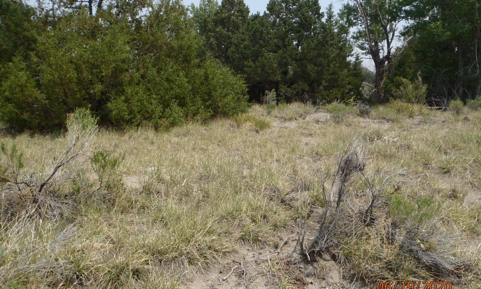
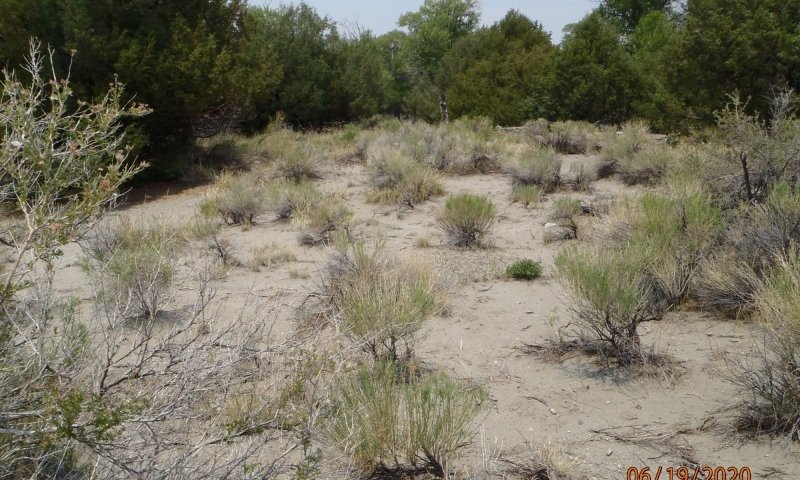
Surface textures range from very cobbly sandy loam to loamy sand. Taxonomic particle size class ranges from loamy-skeletal to sandy. Soils are deep and slope commonly ranges from 4 to 15 percent. Vegetatively, the site is a mix of grasses and shrubs along a gradient from alluvium derived cobbly sandy-loam surface textures to eolian derived loamy-sand. There are stringers of pinyon and juniper extending down from the colluvial apron of the mountain-base and some scattered P-J throughout the site.
Associated sites
| R051XY276CO |
Limy Bench Limy bench are sometimes skeletal and have a fine-loamy particle size class. Limy bench is derived from igneous geology, and particular extrusive volcanic material that tends to break down into finer soils that are higher in pH. |
|---|---|
| R051XY263CO |
Salt Flats The Salt Flats site can be found around some of the bottom fringes of the foothill sands site and occurs on the alluvial flat component of the basin floor. It is associated with vegetation that is tolerant of higher alkalinity. |
| R051XY317CO |
Foothill Loam The Foothill Loam site does not have the eolian influence and textures are not as course.T he Foothill Loam Site is primarily a grassland community located a little higher up on the mountain front alluvial fans. It is located in the 12-16 inch precipitation zone. |
| R051XY294CO |
Valley Sand The Valley Sand site occurs on the alkali flat of the basin floor. The soils are derived from course-textured alluvium which has been wind-worked over time. Often there is a deep water table which is accessible to deep-rooted shrubs. |
Similar sites
| R051XY275CO |
Deep Sands 7-9 PZ The Deep Sands site is part of the sand sheet that surrounds the active dune field. This site is coarse loamy; deep to very deep in depth and is non-saline. It occurs on dunes and sand sheets. Sand Hummocks occur as dunes in the playa and are saline. |
|---|---|
| R051XY294CO |
Valley Sand The Valley Sand site occurs on the alkali flat of the basin floor. The soils are derived from course-textured alluvium which has been wind-worked over time. Often there is a deep water table which is accessible to deep-rooted shrubs. |
| R051XY312CO |
Sand Hummocks It essentially occupies the playa dune component where salts and sand accumulate on the leeward side of the playa. |
Table 1. Dominant plant species
| Tree |
(1) Pinus edulis |
|---|---|
| Shrub |
Not specified |
| Herbaceous |
(1) Achnatherum scribneri |
Click on box and path labels to scroll to the respective text.


