
Natural Resources
Conservation Service
Ecological site R051XY264CO
Chico Land
Last updated: 12/11/2024
Accessed: 12/22/2024
General information
Provisional. A provisional ecological site description has undergone quality control and quality assurance review. It contains a working state and transition model and enough information to identify the ecological site.
MLRA notes
Major Land Resource Area (MLRA): 051X–High Intermountain Valleys
This MLRA encompasses the San Luis Valley in south central Colorado and the Taos Plateau and Taos alluvial fans of north central New Mexico. As part of the northern portion of the Rio Grande Rift, the MLRA consists of large, alluvium filled basins washed down from adjacent mountain ranges. The Rio Grande River flows through this MLRA, continuing its long function of carrying mountain sediment down to the basin. Cenozoic volcanism is an extensive characteristic of the MLRA where large basalt flows with volcanic hills and domes are abundant. Ancient Lake Alamosa is a large feature within the MLRA.
Classification relationships
NRCS:
Major Land Resource Area 51, High Intermountain Valleys (United States Department of Agriculture, Natural Resources Conservation Service, 2006).
USFS:
331J – Northern Rio Grande Basin M331Ic > 331Ja - San Luis Valley, 331Jb - San Luis Hills and 331C - Mogotes
EPA:
22 - Arizona/New Mexico Plateau > 22a - San Luis Shrublands and Hills ; 22b -San Luis Alluvial Flats and Wetlands ; 22c - Salt Flats; 22e - Sand Dunes and Sand Sheets and 22f -Taos Plateau (Griffith, 2006).
USGS:
Southern Rocky Mountain Province
Ecological site concept
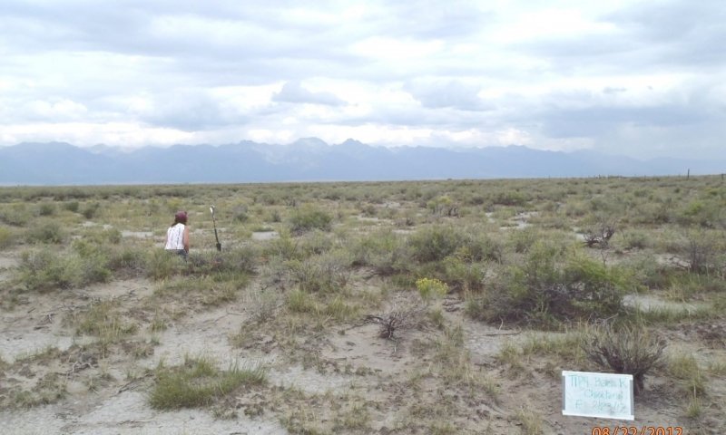
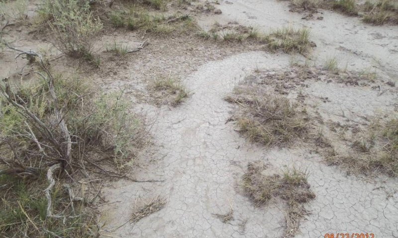
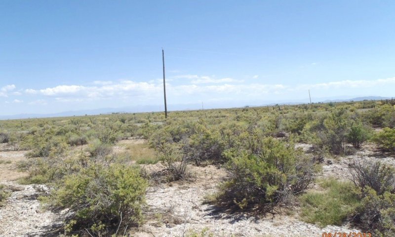
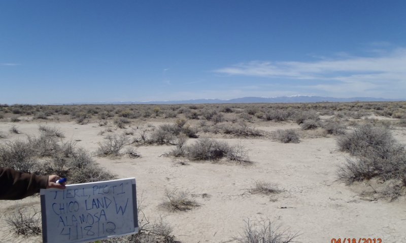
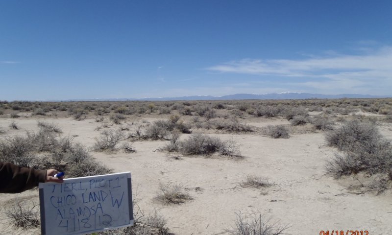
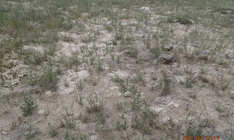
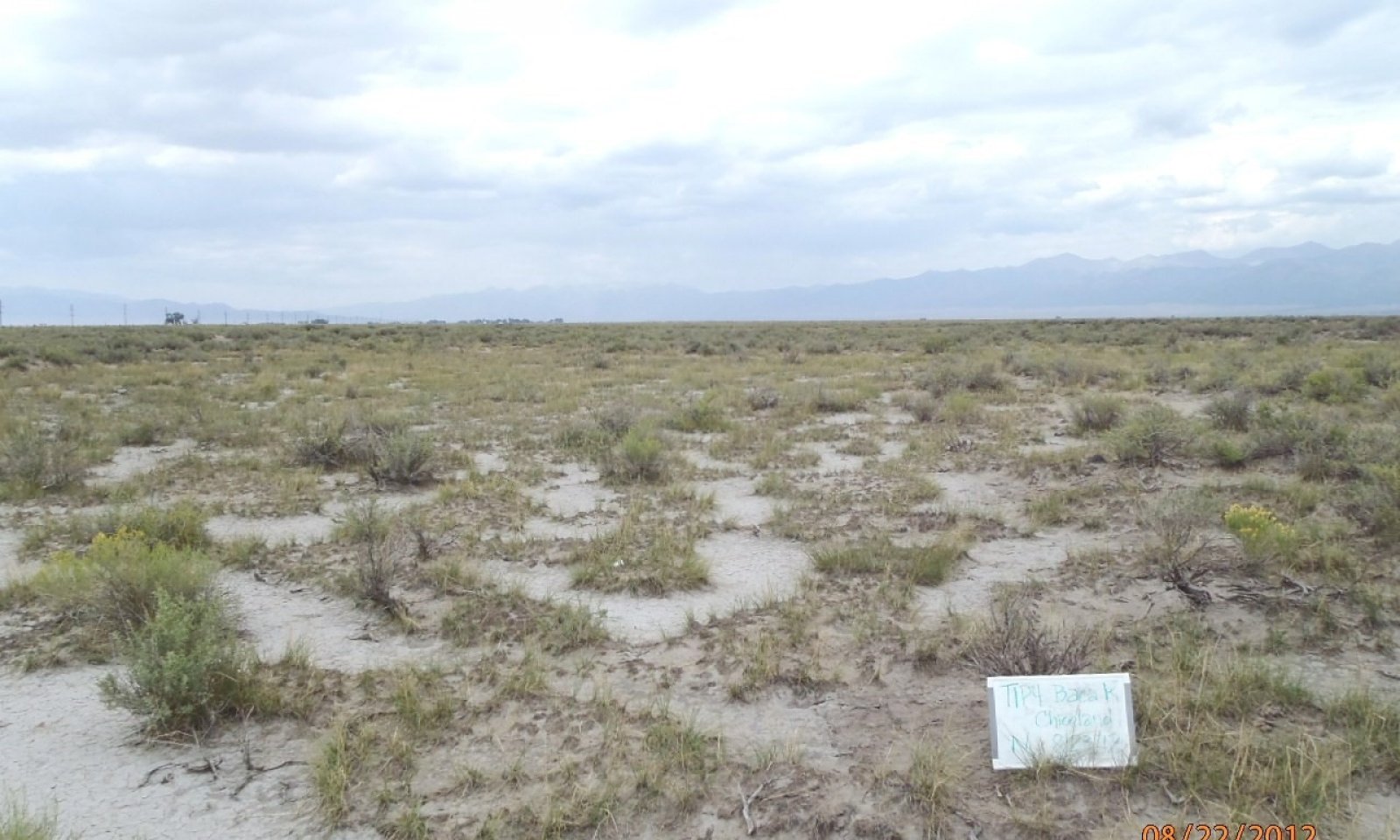
This site occurs on the broad central floor of the San Luis Valley. Elevation ranges from 7500 to 7750 feet. This site occurs in association with Salt Flats and Salt Meadow sites and is very similar to the Salt Flats site. Chico land exhibits extensive areas of "slick spots" and typically supports large stands of greasewood. Alkali sacaton, and inland saltgrass are dominant grasses. Soils are highly alkali with clayey subsoil which inhibits water infiltration and productivity.
Associated sites
| R051XY312CO |
Sand Hummocks Chico Land sites are found adjacent to and interspersed with Sand Hummocks along the eastern side of the San Luis Valley and throughout Alamosa County. The Chico Land exists on the alluvial flat while sand hummocks is part of the playa complex. |
|---|---|
| R051XY314CO |
Alkali Overflow Chico Land sites are found adjacent to and on slightly higher ground than Alkali Overflow sites in Alamosa and Saguache Counties. In some areas around the Blanca Wetlands Chico Land sites intergrade into Alkali Overflow sites. Chico land resides on the alluvial flat while alkali overflow is associated with the playa complex. |
| R051XY267CO |
Salt Meadow Chico Land sites can be found adjacent to and on slightly higher ground than Salt Meadow sites. Salt Meadows have access to extra water due to higher flooding frequency and higher water table. Salt Meadows are grass dominated while chico land has a strong shrub component. |
| R051XY263CO |
Salt Flats Chico land is higher in clay content with greater slick spots, higher in alkalinity and is less vegetatively productive than salt flats. |
| R051XY294CO |
Valley Sand Valley sand occurs throughout the alluvial flat of the basin floor where soils are course textured. |
| R051XY264CO |
Chico Land |
Similar sites
| R051XY263CO |
Salt Flats |
|---|---|
| R051XE260CO |
Chico Fan 8-12 PZ |
| R051XY314CO |
Alkali Overflow |
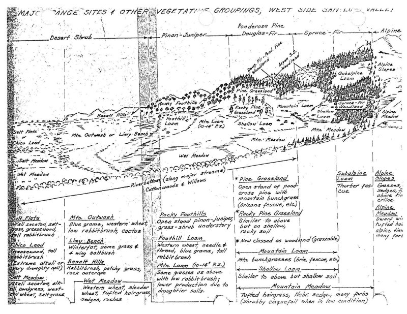
Figure 1.
Table 1. Dominant plant species
| Tree |
Not specified |
|---|---|
| Shrub |
(1) Sarcobatus vermiculatus |
| Herbaceous |
(1) Sporobolus airoides |
Click on box and path labels to scroll to the respective text.
